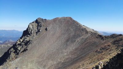
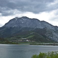
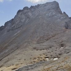
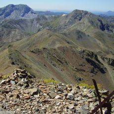
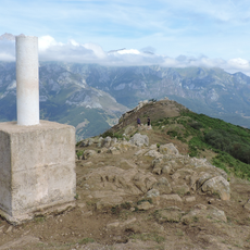
Peña Prieta, Mountain summit in Cordillera Cantábrica, Spain
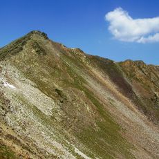
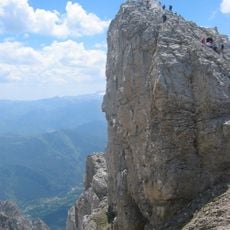
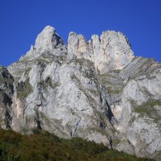
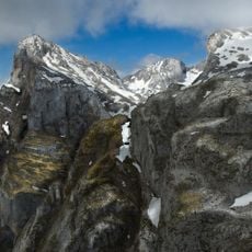
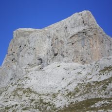
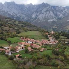
Peña Prieta is a mountain summit in the Cordillera Cantabrica featuring a dramatic dark north face of limestone cliffs and steep rocky slopes. The peak reaches about 2,500 meters and sits within a protected natural reserve where alpine grasslands meet forested valleys below.
The mountain chain served as a natural boundary between Christian kingdoms and Muslim territories during the Middle Ages on the Iberian Peninsula. This geographic position shaped regional development and settlement patterns for centuries.
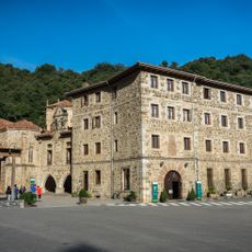
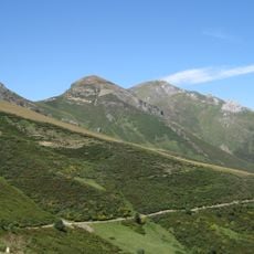
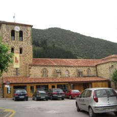
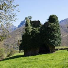
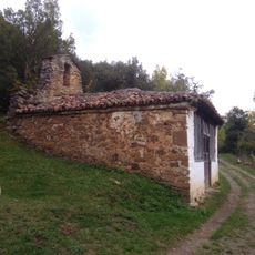
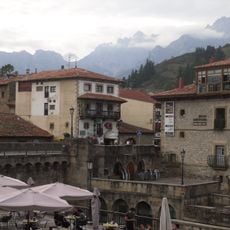
Shepherding communities work the surrounding valleys where animals graze on seasonal pastures, shaping how people live with the mountain landscape throughout the year.
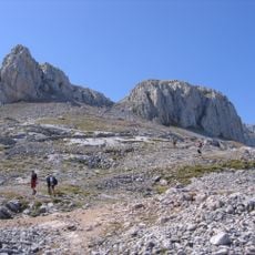
Reaching the summit requires proper hiking gear, solid mountain experience, and careful planning due to steep rocky sections and unpredictable high-altitude weather. Several approach routes start from mountain passes and valley towns, giving visitors options based on their starting location and fitness level.
The peak is the highest point in Palencia province, making it a commanding landmark visible from many surrounding areas. Its prominence gives it special standing among the mountains in this part of the Cantabrian Range.
The community of curious travelers
AroundUs brings together thousands of curated places, local tips, and hidden gems, enriched daily by 60,000 contributors worldwide.