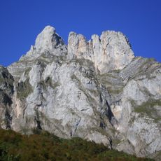
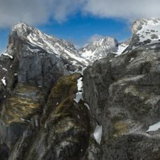
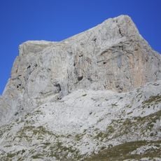
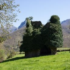
Pico Murcia, Mountain summit in Cantabrian Range, Spain.
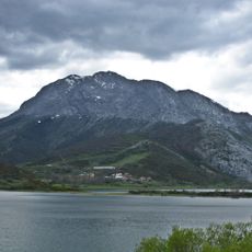
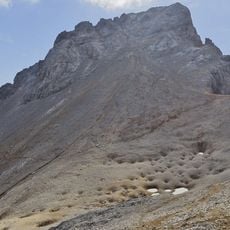
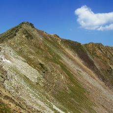
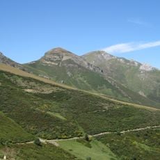
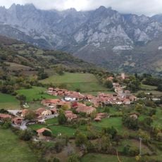
Pico Murcia is a mountain summit in the Cantabrian Range reaching 2,352 meters high. The peak sits within Fuentes Carrionas Natural Park and displays limestone rock formations with alpine meadows spread across its slopes.
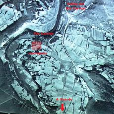
The summit's geodesic vertex marks the boundary between the provinces of León and Palencia, a line that follows the ridge linking Pico Murcia with Pico Cuartas and Pico de Las Lomas. The peak stands at 2,352 m in the Fuentes Carrionas massif of the Cantabrian Range, beside the Espigüete, above Cardaño de Arriba in the municipality of Velilla del Río Carrión.
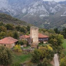
The summit's geodesic vertex marks the boundary between the provinces of León and Palencia, and the ridge it sits on links Pico Murcia with Pico Cuartas and Pico de Las Lomas along that same dividing line. Walkers starting from Barniedo de la Reina approach the peak from the Leonese side, while those from Cardaño de Arriba come up from Palencia.
The usual route starts in Cardaño de Arriba: 6 km and nearly 1,000 m of ascent to the geodesic vertex and mailbox on the summit. From the León side, the climb can also begin at Barniedo de la Reina. The ascent is rated low-to-medium difficulty, but accidents have occurred, especially in winter.
From the summit, visitors can see Espigüete peak, another well-known mountain about 4 kilometers to the south. The location also marks where León and Palencia provinces meet.
The community of curious travelers
AroundUs brings together thousands of curated places, local tips, and hidden gems, enriched daily by 93,990 contributors worldwide.