
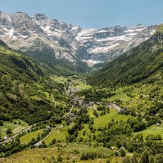
Gavarnie Falls, Waterfall in Hautes-Pyrénées, France
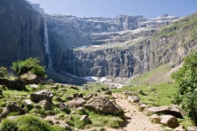
The Gavarnie Falls descends in multiple stages through limestone cliffs, reaching a total height of 422 meters with its main drop measuring 281 meters.
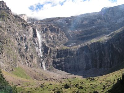
The waterfall formed over 20,000 years through glacial activity, creating a natural amphitheater within the Pyrenees mountains that reaches 800 meters in width.
The Falls became part of the Pyrenees National Park in 1967 and received UNESCO World Heritage recognition for its geological and natural significance in 1997.
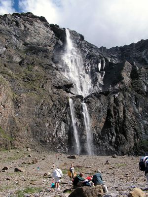
Visitors can reach the falls through a marked trail from Gavarnie village, with the journey taking approximately 30 minutes on foot across maintained paths.
During winter months, the waterfall's flow can freeze completely, while summer snowmelt can increase water volume to 200 cubic meters per second.
Location: Hautes-Pyrénées
Elevation above the sea: 2,200 m
Height: 281 m
Width: 15 m
Accessibility: Wheelchair inaccessible
Part of: Gave de Pau
GPS coordinates: 42.69332,-0.00445
Latest update: June 23, 2025 09:41
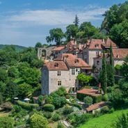
Occitanie encompasses an architectural and natural heritage that reflects many centuries of history. Medieval villages are nestled in valleys and on heights, while castles and monasteries tell of the era of the Cathars and religious orders. The region also features remarkable geological formations: deep gorges, waterfalls, potholes, and caves decorated with prehistoric paintings. Among the sites to visit, Saint-Cirq-Lapopie overlooks the Lot Valley with its stone houses and narrow streets. The Peyrepertuse fortress stands at 800 meters above sea level on a rocky spur in the Corbières. The Navacelles cirque reveals a canyon carved by the Vis River, while the Gorges de la Jonte provide trails through a habitat for vultures. The Lagrasse Abbey maintains its medieval architecture on the banks of the Orbieu, and the Niaux Cave houses Magdalenian paintings dating back 14,000 years. Natural curiosities like the Gouffre de l'Oeil Doux and the intermittent Fountain of Fontestorbes complete this territory where history and geology meet.
Gavarnie Cirque
409 m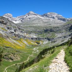
Monte Perdido
3.7 km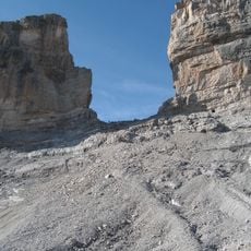
La Brèche de Roland
2.4 km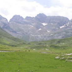
Monte Perdido Massif
3.8 km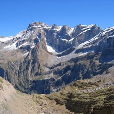
Pico Marboré
1.3 km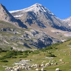
Pic du Taillon
3.8 km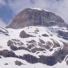
Cilindro de Marboré
2.5 km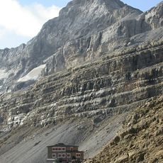
El Casco
1.9 km
Grotto of Casteret
2.5 km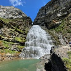
Cascada Cola de Caballo
5 km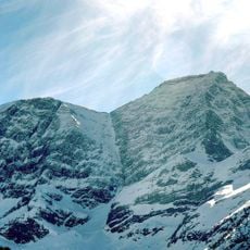
Grand Astazou
2.5 km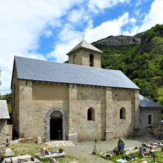
Église Notre-Dame-du-Bon-Port, Gavarnie
4.4 km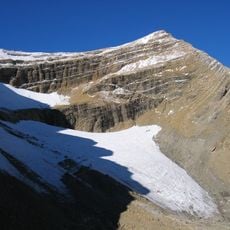
Taillon Glacier
2.9 km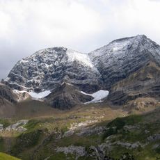
Petit Astazou
1.8 km
Pico Central de la Cascada
928 m
Gabiétous Glacier
4.3 km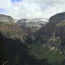
Circo de Cotatuero
4.6 km
Cascade Glacier
822 m
Punta Escaleras
3.7 km
Picos de la Cascada Oriental
1.1 km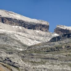
Pointe Bazillac
2.8 km
Glacier du Col de la Cascade
830 m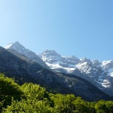
Pico Occidental de la Cascada
927 m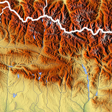
Ouest du Marboré Glacier
1.1 km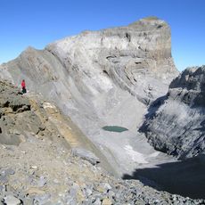
Pitón SW del Cilindro
2.5 km
Épaule Glacier
745 m
Baudrimont NW
4.7 km
Dedo del Monte Perdido
3.3 kmReviews
Visited this place? Tap the stars to rate it and share your experience / photos with the community! Try now! You can cancel it anytime.
Discover hidden gems everywhere you go!
From secret cafés to breathtaking viewpoints, skip the crowded tourist spots and find places that match your style. Our app makes it easy with voice search, smart filtering, route optimization, and insider tips from travelers worldwide. Download now for the complete mobile experience.

A unique approach to discovering new places❞
— Le Figaro
All the places worth exploring❞
— France Info
A tailor-made excursion in just a few clicks❞
— 20 Minutes