
Aiguilles d'Arves, Mountain peaks in Savoie, France.
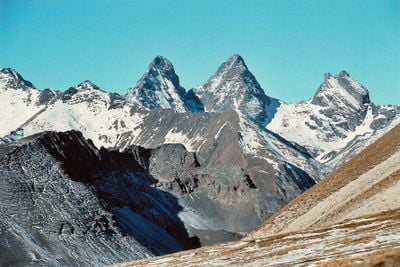
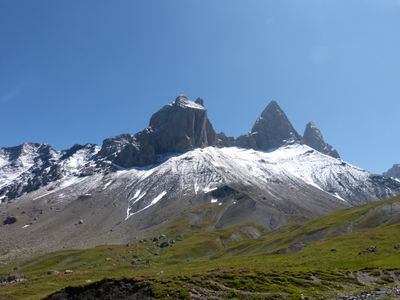
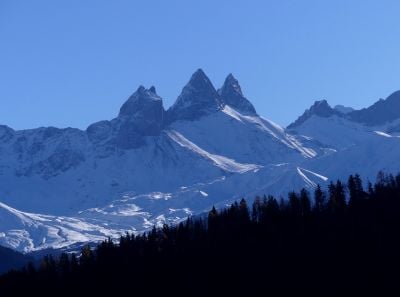
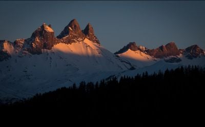
The Aiguilles d'Arves consists of three distinct summits reaching 3,514 meters, forming a prominent silhouette in the French Alps mountain range.
The Central Peak of Aiguilles d'Arves was first conquered by the Magnin brothers, Pierre Alexis and Benoît Nicolas, on September 2, 1839.
The Northern Peak earned the name Tête de Chat due to its resemblance to a cat's head, reflecting the local tradition of naming peaks after familiar shapes.
Visitors can access multiple hiking trails from Le Chalmieu in Albiez-Montrond, with routes ranging from 1.5 hours to full-day excursions at various difficulty levels.
The Magnin brothers left Sardinian coins at the summit as markers of their first ascent, establishing an early tradition of mountaineering documentation.
Location: Saint-Jean-d'Arves
Location: Valloire
Location: La Grave
Elevation above the sea: 3,514 m
GPS coordinates: 45.12306,6.33444
Latest update: May 24, 2025 09:05
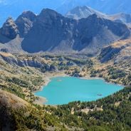
France features a notable variety of protected natural areas, showcasing the country’s geological and ecological richness. From Lake Allos in the Alpes-de-Haute-Provence to the underground rivers of Padirac in Dordogne, from the mountain ranges of Savoy to the limestone formations of the Ardèche gorges, each region displays landscapes shaped over millennia of natural evolution. This collection gathers sites where nature is expressed freely: primary forests, karst systems, high-altitude lakes, moving dunes of the Atlantic coast, and rock formations carved by erosion. These areas provide diverse ecosystems, home to species adapted to different environments, from Alpine flora and fauna to dune communities and underground cave biodiversity. Each natural site in this selection serves as an open-air laboratory where geological processes, ecosystem dynamics, and living adaptation to local conditions can be observed. These sites invite discovery of authentic landscapes, removed from human impact, where geological time is evident in every rock formation and glacier valley.
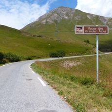
Route des Grandes Alpes
66.4 km
Galibier-Thabor
8.8 km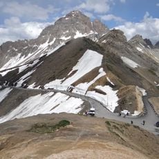
Grand Galibier
10.2 km
Fort du Télégraphe
13.2 km
Lautaret Garden
11 km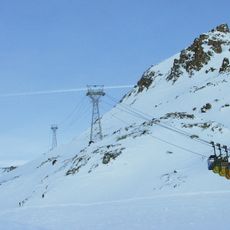
Téléphériques des glaciers de la Meije
9.1 km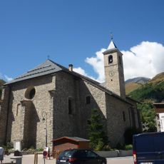
Église de l'Assomption de Valloire
8.8 km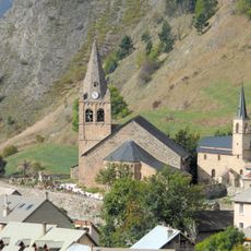
Église Notre-Dame-de-l'Assomption de La Grave
8.9 km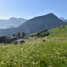
Mont Charvin
11.2 km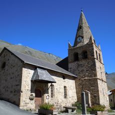
Church of St Peter and St Paul of the Hières
7.5 km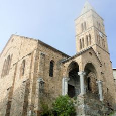
Église Saint-Matthieu
8.8 km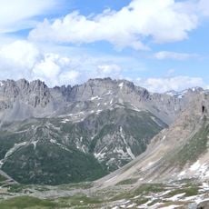
Rochers de la Grande Paré
9.4 km
Montissot
10.2 km
Golf des Verneys
7 km
Bench
9 km
Bench
11.6 km
Col du Bec
11.4 km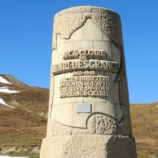
Monument Henri-Desgrange
8.8 km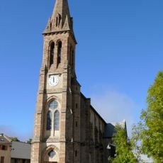
Église Saint-Martin de Villar-d'Arêne
9 km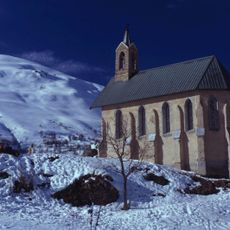
Chapelle Saint-Pierre de Valloire
8 km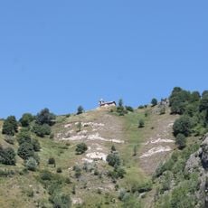
Chapelle Sainte-Madeleine du Poingt Ravier
8.5 km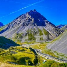
Roche Olvéra
7.6 km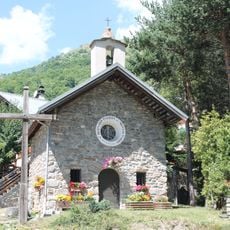
Chapelle Saint-Bernard de la Borgé
8.3 km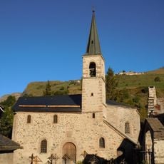
Chapelle des Pénitents de La Grave
8.9 km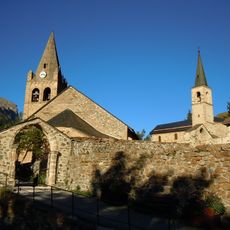
Ensemble religieux de La Grave
8.9 km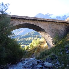
Pont sur le Maurian, La Grave
8.4 km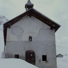
Église Notre-Dame-des-Neiges de Bonnenuit
6.9 km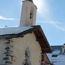
Chapelle Sainte-Marguerite des Granges
9.9 kmReviews
Visited this place? Tap the stars to rate it and share your experience / photos with the community! Try now! You can cancel it anytime.
Discover hidden gems everywhere you go!
From secret cafés to breathtaking viewpoints, skip the crowded tourist spots and find places that match your style. Our app makes it easy with voice search, smart filtering, route optimization, and insider tips from travelers worldwide. Download now for the complete mobile experience.

A unique approach to discovering new places❞
— Le Figaro
All the places worth exploring❞
— France Info
A tailor-made excursion in just a few clicks❞
— 20 Minutes