Corniche du Président-John-Fitzgerald-Kennedy, Coastal thoroughfare in Marseille, France.
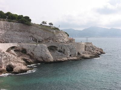
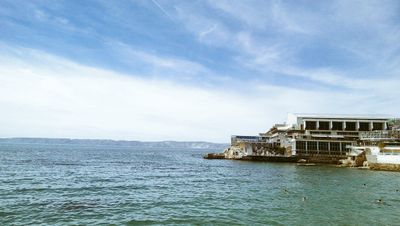
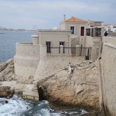
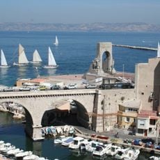
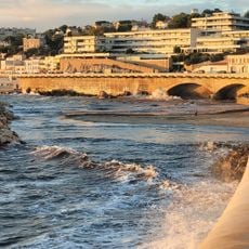
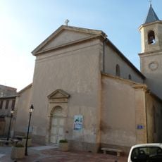
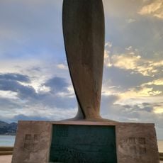
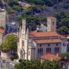
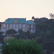
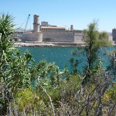
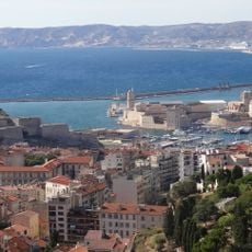
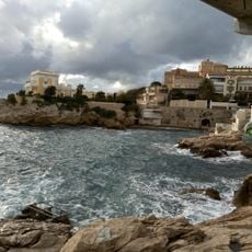
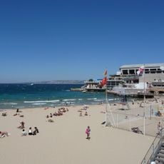
The Corniche du Président-John-Fitzgerald-Kennedy is a coastal road running along the Mediterranean Sea in Marseille, connecting different neighborhoods through a continuous path. It passes by several beaches, public squares, and open bays facing the water.
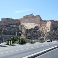
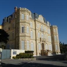
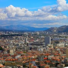
The route evolved from a footpath into a complete road between 1848 and 1863, then underwent major expansion during the 1950s and 1960s. This period of transformation shaped the modern appearance of the coastline.
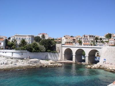
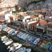
The street was renamed in 1963 following President Kennedy's death, and today it hosts numerous restaurants and the traditional fishing port of Vallon des Auffes where locals still gather.
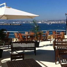
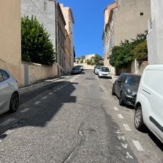
You can walk the entire route and find multiple places to rest and enjoy the view along the way. The path is level and easy to navigate, making it comfortable for a leisurely stroll.
A continuous concrete bench runs nearly 3 kilometers (about 2 miles) along the route, making it one of Europe's longest public seating installations. This unusual feature makes it easy to stop and rest whenever you want while watching the sea.
The community of curious travelers
AroundUs brings together thousands of curated places, local tips, and hidden gems, enriched daily by 60,000 contributors worldwide.