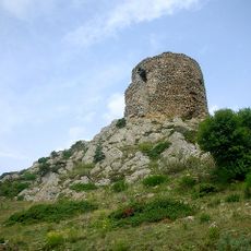
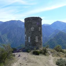
Puig del Roc Negre, Mountain summit in Eastern Pyrenees, France
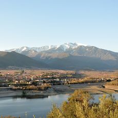
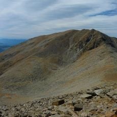
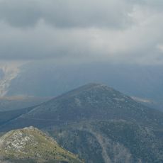
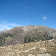
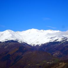
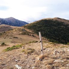
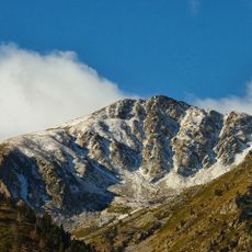
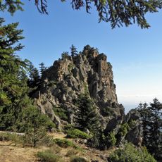
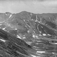
Puig del Roc Negre rises to 2,714 meters (8,905 feet) with rocky peaks and open mountain meadows scattered across its slopes. The summit stands in the eastern Pyrenees with clear views across the surrounding valleys and ridges that mark this border region.
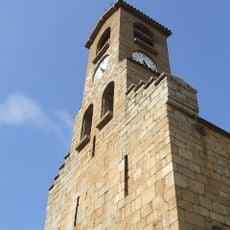
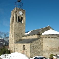
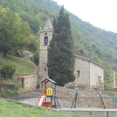
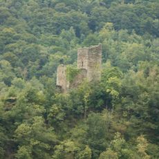
The mountain served as a boundary marker between different regions and territories for many centuries. Its Catalan-influenced name still reflects the cultural blend that defines this French mountain area.
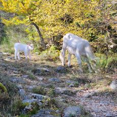
Shepherds still graze their animals on the slopes following ways passed down through many generations on this mountain. This traditional practice shapes how people relate to the landscape today.
Several hiking paths lead upward from the surrounding villages, with the main route covering about 17 kilometers and roughly 1,450 meters (4,760 feet) of elevation gain. The trails require sturdy footwear and preparation for mountain weather that can change quickly.
On clear days from the top, hikers can spot both the Mediterranean Sea and the distant Roussillon plain stretching below. Hidden below the ridgeline are the Gourgs de Cady mountain ponds, small water features that reveal themselves only from above.
The community of curious travelers
AroundUs brings together thousands of curated places, local tips, and hidden gems, enriched daily by 60,000 contributors worldwide.