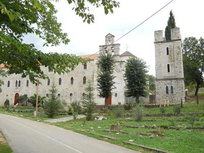
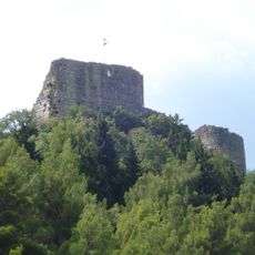
Krupa, Settlement in Obrovac, Croatia.
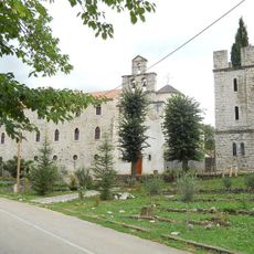
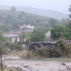
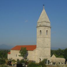
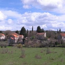
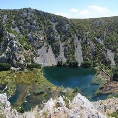
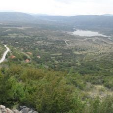
Krupa is a settlement in Zadar County situated in the hills above the Dalmatian plain. The village spreads across rural land with scattered houses and small farms connected by quiet roads.
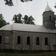
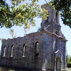
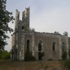
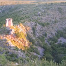
The area experienced major shifts in the late 1600s when neighboring regions changed hands. These changes in control shaped how the settlement developed over the following centuries.
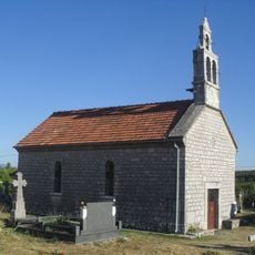
The people who live here maintain traditional ways connected to farming and the wider Dalmatian region. Local crafts and food customs have been passed down through families and remain part of daily life.
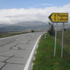
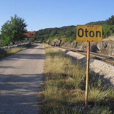
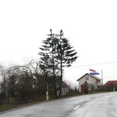
The settlement is reached by local roads that connect it to nearby larger towns. Visitors should travel by car and expect quiet, rural road conditions.
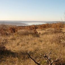
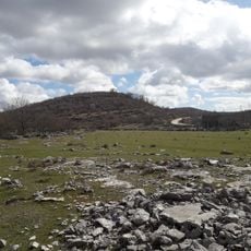
The village sits in a hilly location with wide views over the Dalmatian landscape, making it a quiet retreat from busier coastal areas. The higher elevation provides cooler temperatures compared to lowland regions.
The community of curious travelers
AroundUs brings together thousands of curated places, local tips, and hidden gems, enriched daily by 60,000 contributors worldwide.