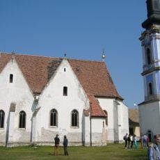
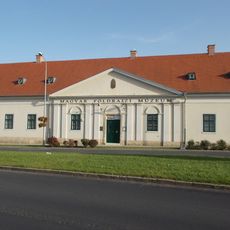
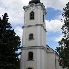
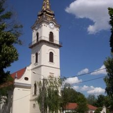
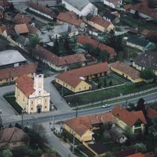
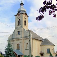
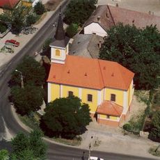
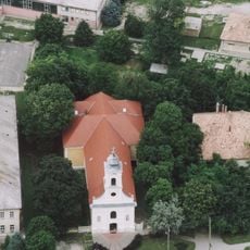
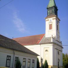
Ráckeve District, district of Hungary
Location: Pest County
Inception: January 1, 2013
Capital city: Ráckeve
Shares border with: Érd District, Szigetszentmiklós District, Dabas District, Martonvásár District, Dunaújváros District, Kunszentmiklós District
GPS coordinates: 47.16667,18.95000
Latest update: March 10, 2025 05:49
Lakihegy Tower
23.3 km
Csepel Island
9.3 km
Brunszvik Mansion
20.7 km
Savoy Castle
528 m
Minaret in Érd
21.6 km
Tass sluice
15.1 km
Zichy Mansion, Zichyújfalu
21.5 km
Fabó Éva Swimming Pool
23.3 km
Hauszmann–Gschwindt Mansion, Velence
24.6 km
Árpád Bridge in Ráckeve
588 m
Serbian Kovin Monastery
860 m
Dunaferr Arena
23.5 km
Hungarian Geographical Museum
23.6 km
Saint Michael Church in Érd
21.1 km
Serbian Orthodox Church in Szigetcsép
11.7 km
Saint Emeric chapel in Zichyújfalu
21.5 km
Beethoven Memorial Hall
21.2 km
Saint Stephen of Hungary Church, Dunaharaszti
23.1 km
Saint John the Baptist Church in Ráckeve
980 m
Reformed Church
20.3 km
Kalvinana kirko
20.8 km
Dózsa Mozicentrum
22.7 km
Exaltation of the Cross Church, Alsónémedi
23.1 km
Saint Michael Church in Pereg
3.6 km
Iglesia de San Adalberto
16.4 km
Iglesia de San Emerico de Hungría
14.1 km
Church of the Visitation, Adony
8.3 km
Reformed church in Kiskunlacháza
5 kmReviews
Visited this place? Tap the stars to rate it and share your experience / photos with the community! Try now! You can cancel it anytime.
Discover hidden gems everywhere you go!
From secret cafés to breathtaking viewpoints, skip the crowded tourist spots and find places that match your style. Our app makes it easy with voice search, smart filtering, route optimization, and insider tips from travelers worldwide. Download now for the complete mobile experience.
A unique approach to discovering new places❞
— Le Figaro
All the places worth exploring❞
— France Info
A tailor-made excursion in just a few clicks❞
— 20 Minutes