
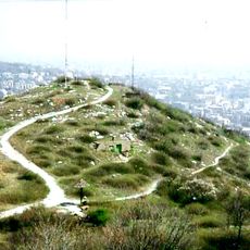
Frankhegy, dolomite hill in Budaörs
Location: Budaörs
Elevation above the sea: 417 m
GPS coordinates: 47.47426,18.95508
Latest update: March 7, 2025 20:05
Sas Hill
4.7 km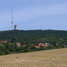
Széchenyi Hill
2.8 km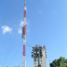
TV tower in Budapest
2.7 km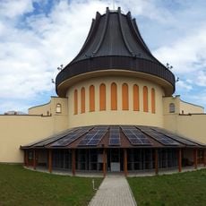
Holy Angels Church in Gazdagrét
3.1 km
Istenszeme Guesthouse
4.2 km
Jókai Garden
3.9 km
Makkosmária kegytemploma
2.8 km
Rupp-hegy
1.9 km
Mária Chapel in Kútvölgy
4.4 km
Gloriette kút
3.3 km
Immaculate Conception chapel
1 km
German Military Cemetery - Budaörs
4 km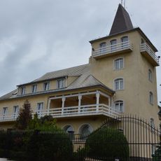
Panorama Hotel
3 km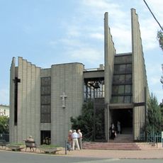
All Saints Church, Budapest-Hegyvidék
4 km
Pheasant Guesthouse
4.5 km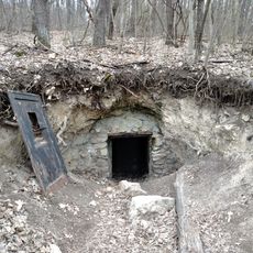
Piktortégla cavities
510 m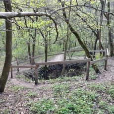
Farkas-völgyi Sinkhole
2.2 km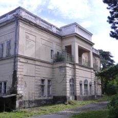
Béla király 20, Frivaldszky Villa
4 km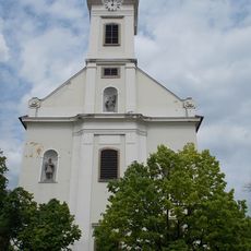
St. John of Nepomuk church, Budaörs
1.5 km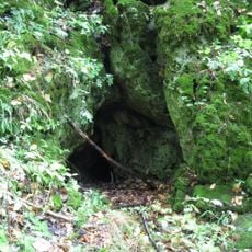
Farkasvölgy Cave
2.4 km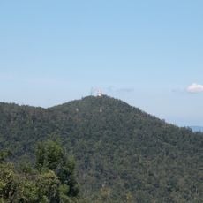
Hármaskút-tető
4.4 km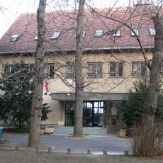
Keve András Ornithological and Nature Conservation Library
3.9 km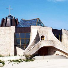
Preĝejo de Sanktaj Anĝeloj (Újbuda)
3.1 km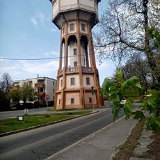
Svábhegyi víztorony
3.2 km
Saint Ladislaus Church
4 km
Jókai Memorial Room
3.9 km
Havas Boldogasszony-templom
4.4 km
Makovecz Központ és Archívum
4.4 kmReviews
Visited this place? Tap the stars to rate it and share your experience / photos with the community! Try now! You can cancel it anytime.
Discover hidden gems everywhere you go!
From secret cafés to breathtaking viewpoints, skip the crowded tourist spots and find places that match your style. Our app makes it easy with voice search, smart filtering, route optimization, and insider tips from travelers worldwide. Download now for the complete mobile experience.

A unique approach to discovering new places❞
— Le Figaro
All the places worth exploring❞
— France Info
A tailor-made excursion in just a few clicks❞
— 20 Minutes