Hazaribagh district

Log in to your account

AroundUs is a community-driven map of interesting places, built by curious explorers like you. It grows with every review, story, and photo you share.
Connect to save your favorite spots, contribute locations, and create personalized routes.
Continue with Google
Continue with Apple
Continue with X
Continue with Facebook
Continue with email
By continuing, you accept our Terms and Conditions and our Privacy Policy
Create an account
Add to collection
Map
Suggest a change
Share

Hazaribagh district, Administrative division in Jharkhand, India

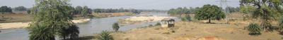
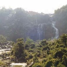
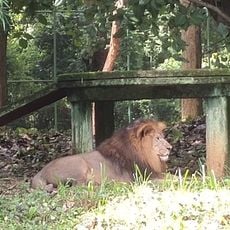
Hazaribagh is an administrative district in Jharkhand featuring forests, rivers, and mineral-rich lands spread across sixteen administrative blocks. The town of Hazaribagh serves as the district headquarters, connecting various communities across this region.

This area remained independent for centuries until Mughal influence emerged in the late 16th century, reshaping the region's structure. In the late 18th century, British forces established a cantonment here, which brought new administrative systems to the district.

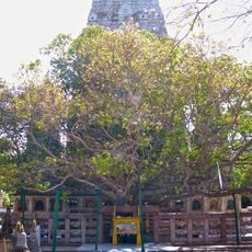
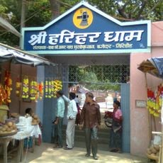
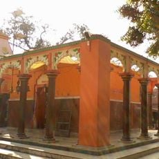
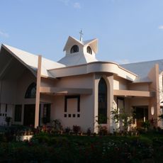
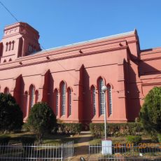
The local population speaks mainly Khortha, and you can observe Hindu and Muslim celebrations happening side by side in daily life. Tribal groups have kept their craft traditions alive, which you can see in markets and during local festivals.

The district is known for mining activities, especially in the Charhi, Kuju, Ghato Tand, and Barkagaon regions where coal extraction drives economic activity. Visitors should be aware of mining-related infrastructure and can observe local working communities in these areas.

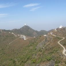
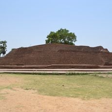
Ancient cave paintings in Isko and megalithic structures near Barkagaon show evidence of very early human settlements in this region. These remains reveal that people have lived here for thousands of years, leaving their mark on the landscape.

Location: North Chotanagpur division

Capital city: Hazaribagh

Shares border with: Gaya district, Bokaro district, Ramgarh district

Website: http://hazaribag.nic.in

GPS coordinates: 24.00000,85.25000

Latest update: December 7, 2025 10:07

Photos
Reviews

Visited this place? Tap the stars to rate it and share your experience / photos with the community! Try now! You can cancel it anytime.

« Hazaribagh district - Administrative division in Jharkhand, India » is provided by Around Us (aroundus.com). Images and texts are derived from Wikimedia project under a Creative Commons license. You are allowed to copy, distribute, and modify copies of this page, under the conditions set by the license, as long as this note is clearly visible.

Discover hidden gems everywhere you go!

From secret cafés to breathtaking viewpoints, skip the crowded tourist spots and find places that match your style. Our app makes it easy with voice search, smart filtering, route optimization, and insider tips from travelers worldwide. Download now for the complete mobile experience.

Around Us App Screenshot

A unique approach to discovering new places

Le Figaro

All the places worth exploring

France Info

A tailor-made excursion in just a few clicks

20 Minutes