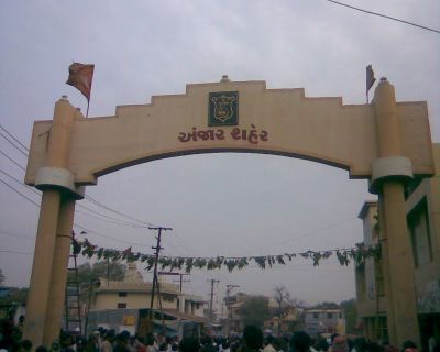
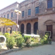
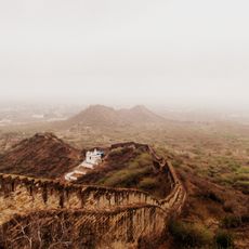
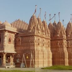
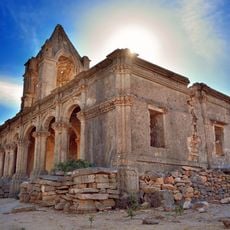
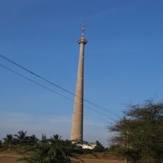
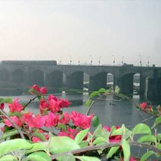
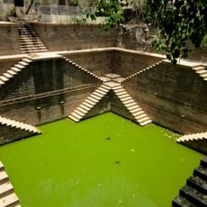
Anjar, historic town in Kachchh district, Gujarat, India
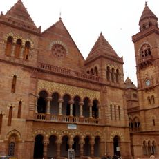
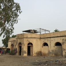
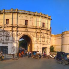
Anjar is a small town in Anjar Taluka, Gujarat, that serves as a local administrative and commercial hub for the surrounding region. The town has a straightforward layout with residential neighborhoods, marketplaces, and commercial streets that shape daily life.
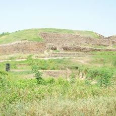
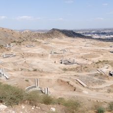
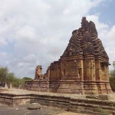
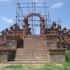
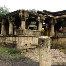
Anjar was established as an administrative unit in the region and developed over time into an important local center. The town is part of Gujarat's historical development as a trade hub.
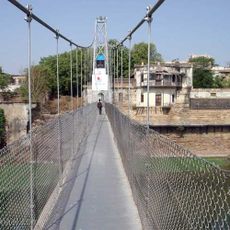
The town is easy to explore by road and has amenities like small hotels, restaurants, and markets available for visitors. As it is a place with lively local activity, the best time to explore is in the early morning or evening when markets are active.
The community of curious travelers
AroundUs brings together thousands of curated places, local tips, and hidden gems, enriched daily by 60,000 contributors worldwide.