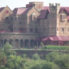
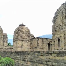
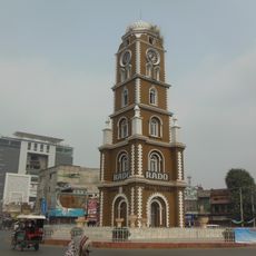
Jammu district, Administrative division in the Indian-administered region of Jammu and Kashmir, India.
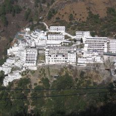
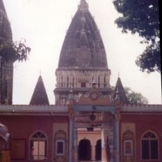
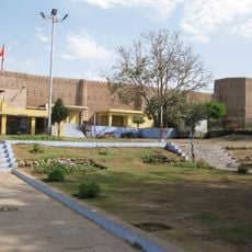
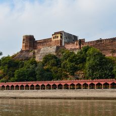
Jammu district is an administrative division in the Jammu region that stretches across foothill terrain near the Shivalik mountain range. The area contains several administrative subdivisions along with major towns and villages that together form an important administrative center for the region.
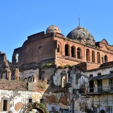
The area was originally part of a princely state under Maharaja Gulab Singh until it became a modern administrative unit after Indian independence in 1947. This transformation shaped the current structure and administrative organization of the district.
The population of 1.5 million residents communicates in multiple languages, with Dogri speakers representing 70 percent of the district inhabitants.
Visitors can find administrative centers in Jammu city where they can inquire about local services or information if needed. The best time to explore is during cooler months, as summers become quite hot.
The district contains 252 square kilometers of urban territory and 2,089 square kilometers of rural land with a population density of 650 inhabitants per kilometer.
The community of curious travelers
AroundUs brings together thousands of curated places, local tips, and hidden gems, enriched daily by 60,000 contributors worldwide.