Vypin, Island in Ernakulam district, India
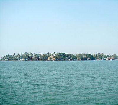
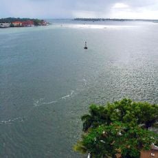
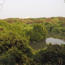
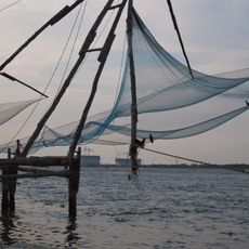
Vypin is an island in Ernakulam district that stretches roughly 27 kilometers along the Arabian Sea coast, forming a natural barrier between the sea and the Cochin backwaters. The terrain consists of flat coastal land dotted with fishing villages, palm groves, and paths leading to small community centers.
The island formed in 1341 following a major flood that reshaped the region's landscape and created this coastal strip. Since then, the geography has determined settlement patterns and economic activities like fishing and agriculture here.
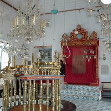
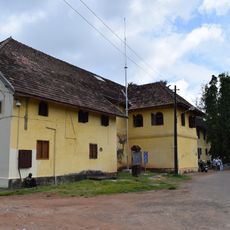
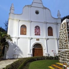
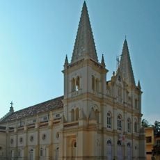
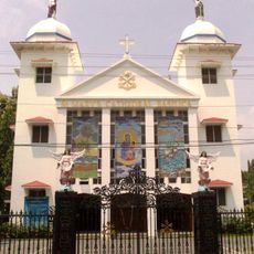
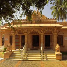
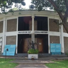
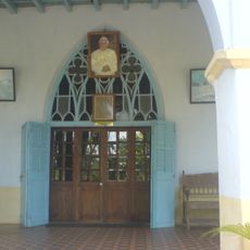
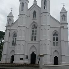
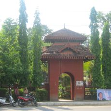
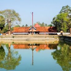
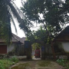
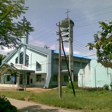
The island holds temples and churches scattered throughout, showing how different faith communities coexist in daily life here. Walking through villages, you notice how religious observances shape the routines and gatherings of local people.
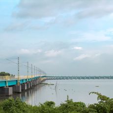
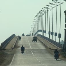
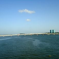
The island is accessible via the Goshree bridges system or regular boat services connecting to Fort Kochi and mainland Ernakulam. The best time to explore is during drier months when paths are more accessible and walking conditions are more comfortable.
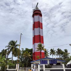
The Puthuvype lighthouse standing on the island is Kerala's tallest coastal lighthouse and guides ships along the Arabian Sea. This beacon is visible from many spots across the island and often goes unnoticed despite being a striking landmark.
The community of curious travelers
AroundUs brings together thousands of curated places, local tips, and hidden gems, enriched daily by 60,000 contributors worldwide.