Khasi Hills, Mountain range in Meghalaya, India
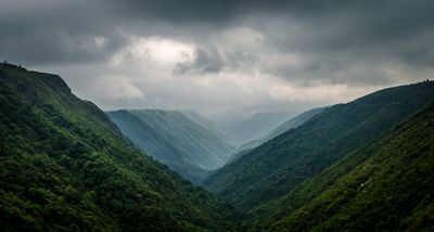
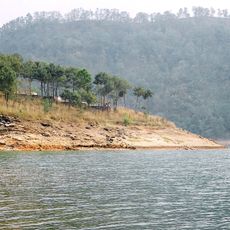
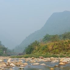
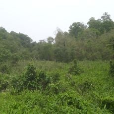
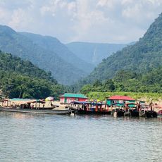
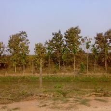
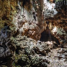
The Khasi Hills stretch across central Meghalaya with forested slopes and numerous valleys carved by seasonal rivers. The mountain range rises to around 1,200 meters (3,900 feet) and forms a prominent geographical feature.
The Khasi Hills region was historically independent until 1972, when it became part of the newly formed state of Meghalaya, separating from Assam. This shift reshaped the political landscape of the area.
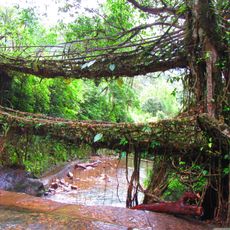
The Khasi people practice a matrilineal system where women hold property and manage family affairs across generations. This custom shapes how families and communities organize their lives today.
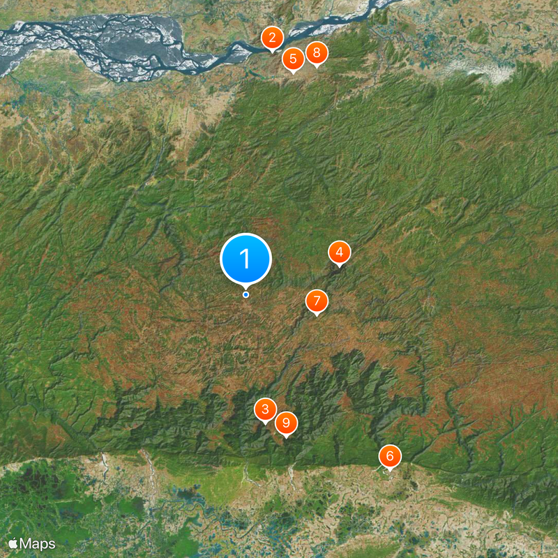
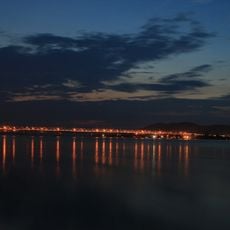
The range is divided into several administrative districts, with Shillong serving as the main administrative center. Consider the varied terrain when planning visits to different parts of the area.
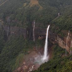
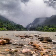
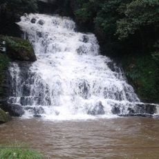
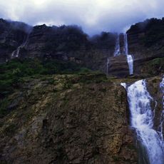
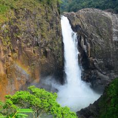
The southern slopes receive extraordinary rainfall, making Cherrapunji and Mawsynram some of the wettest places on Earth. These extreme amounts of rain shape the entire ecosystem and landscape.
The community of curious travelers
AroundUs brings together thousands of curated places, local tips, and hidden gems, enriched daily by 60,000 contributors worldwide.