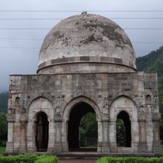
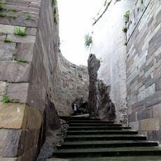
Chhota Udaipur district, Administrative district in Gujarat, India
Chhota Udaipur is an administrative district in southeastern Gujarat organized into six administrative divisions, with Chhota Udepur town serving as its administrative center. The region encompasses diverse settlements and communities spread across varying terrain.
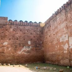
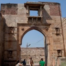
The territory was originally ruled by the Bhil king Kaliya until 1484, when it became a princely state in 1743 under Rawal Udeysinhji. It joined India as an independent nation in 1948 and was subsequently integrated into the modern administrative framework.
The Rathwa communities shape village life through Pithora mural paintings, using milk and local materials to decorate walls with intricate patterns. These painted surfaces tell stories and remain visible throughout the region's settlements.
The region contains substantial deposits of dolomite, fluorite, and granite that shape the local mining industry and economic activity. These natural resources influence the district's development and infrastructure.
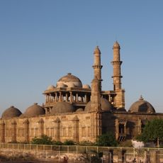
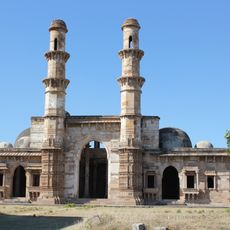
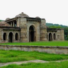
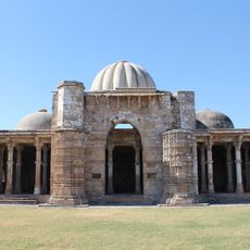
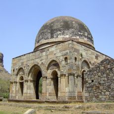
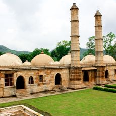
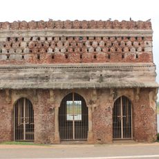
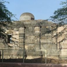
The district features a Jain temple built in Victorian architectural style, standing apart from the traditional designs typically seen in other Jain sanctuaries. This unusual blend of religious purpose and European design reflects historical influences in the region.
The community of curious travelers
AroundUs brings together thousands of curated places, local tips, and hidden gems, enriched daily by 60,000 contributors worldwide.