Claireville Conservation Area, Protected area in Brampton, Canada
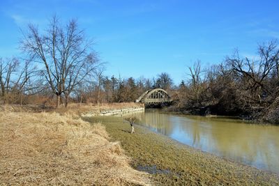
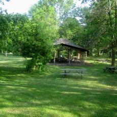
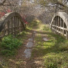
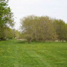
Claireville Conservation Area is a protected land spanning 343 hectares along the west branch of the Humber River, featuring wetlands, woodlands, and open grasslands. The terrain includes both dense forested sections and open meadows that provide different environments throughout the property.
The Toronto and Region Conservation Authority established this site in 1957 to construct a flood control dam after Hurricane Hazel damaged the region. The storm's impact made protection of the land essential for the community's future safety.
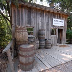
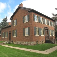
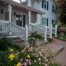
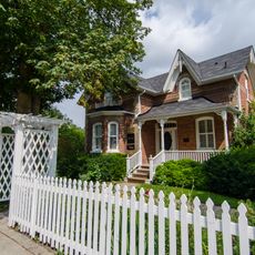
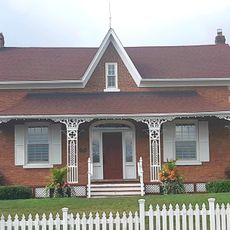
The farmhouse in the northern section shows how rural families lived and worked the land in earlier times. Visitors walking through this area experience what daily farm life looked like during that period.
Three parking areas provide access to the site along Regional Road 50, Queen Street East, and Gorewood Drive. Most trails are flat and easy to walk, making them suitable for visitors of different fitness levels.
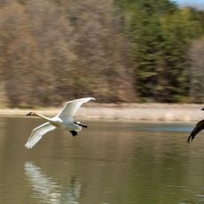
The area supports eastern coyotes, wood ducks, and occasional sightings of white-colored deer. These unusually pale deer stand out against the natural landscape and are a memorable sight for visitors who spot them.
The community of curious travelers
AroundUs brings together thousands of curated places, local tips, and hidden gems, enriched daily by 60,000 contributors worldwide.