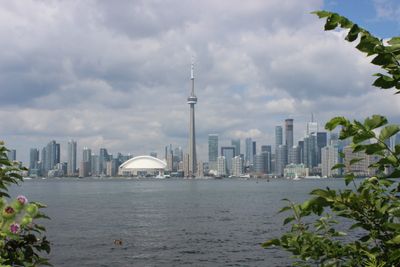
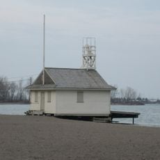
Toronto waterfront, Shore along Lake Ontario in Toronto, Canada.
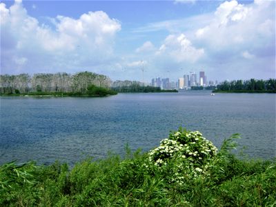
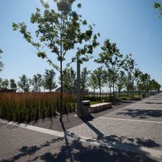
The Toronto waterfront spans about 46 kilometers along Lake Ontario, connecting parks, marinas, residential areas, and commercial districts into one continuous landscape. The area blends open green spaces, water access, and built environments that together create a varied place for people to explore.
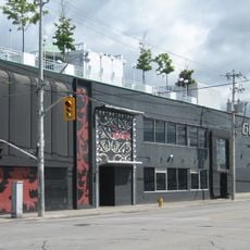
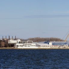
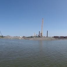
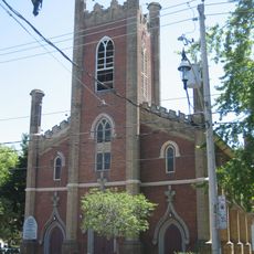
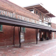
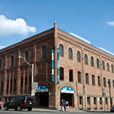
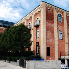
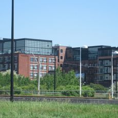
The area was once dominated by industrial warehouses and port operations that lined the water's edge. Starting in the 2000s, a large-scale transformation began to convert these unused industrial lands into new neighborhoods and public spaces.
Public art and outdoor performances happen regularly along the shore, showcasing work by Canadian artists to people walking through. The spaces serve as meeting points where the community gathers to experience culture together.
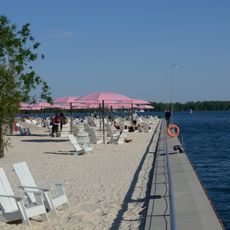
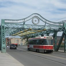
You can reach the shore by streetcar, bus, bicycle, or on foot thanks to a well-developed network of paths throughout the area. The paths are flat and accessible, making it easy for people with different mobility needs to explore.
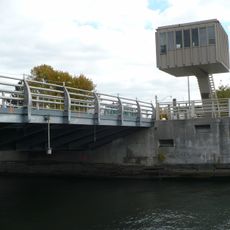
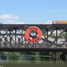
The shore protects itself from flooding through creative methods, including restoring the mouth of the Don River and building new wetlands. These natural areas now host fish and birds, showing how a city can work with nature.
The community of curious travelers
AroundUs brings together thousands of curated places, local tips, and hidden gems, enriched daily by 60,000 contributors worldwide.