Chest opened
+${chestReward.xp} XP
Explorer
NOUVEAU ×${chestReward.collectible.quantity}
tapez pour fermer

See the monuments around you in AR Open chests in the app

Around Us is built for your phone — point your camera at the streets and discover the monuments and places around you in augmented reality. Around Us is built for your phone — chests unlock when you walk, explore and capture nearby places.

•

Enable Location

We need your location to show you interesting places around you

Discover nearby places

Find interesting locations and hidden gems around you

Precise directions

Get accurate directions and distances to places

Your location is never shared with other users. It's only used when you tap the location button.

Shishapangma

Log in to your account

Start exploring — it's free

Trusted by 93,069 travelers worldwide

Continue with Google
Continue with Apple
or

We will send you a code to connect

By continuing, you accept our Terms and Conditions and our Privacy Policy

Check your inbox

We've sent a pincode in your inbox. Please enter the code below.

Shishapangma

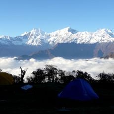
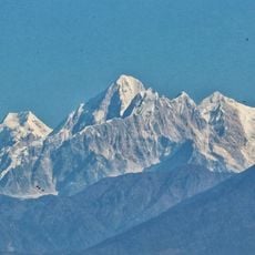
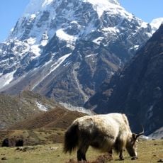
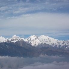
Shishapangma, Mountain summit in Shigatse, China

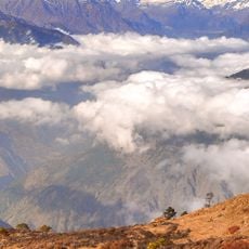
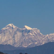
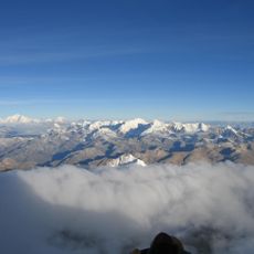
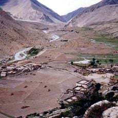
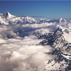
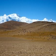
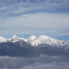
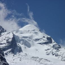
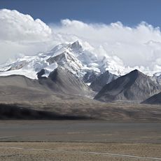
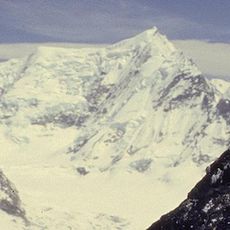
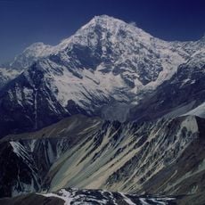
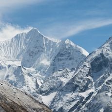
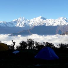
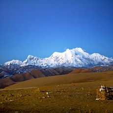
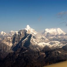
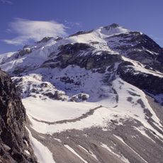
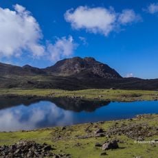
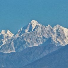
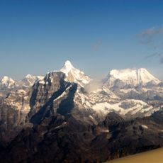
Shishapangma reaches 8027 meters in elevation and ranks as the lowest summit among the fourteen eight-thousanders on Earth. The southern wall rises more than 2000 meters steeply from the Tibetan plateau and displays a face of rock and ice.

Shishapangma was first climbed on 2 May 1964 by a Chinese expedition led by Xǔ Jìng, whose ten-member summit team included Zhāng Jùnyán, Wang Fuzhou and Wū Zōngyuè. It was the last eight-thousander to be ascended. The mountain was opened to foreign climbers only in 1978.

Geologist Toni Hagen read the Tibetan name as a "grassy plain" (pangma) below a "comb" or "range" (shisha), giving "crest above the grassy plains". Tibetologist Guntram Hazod recorded a local story instead: shisha means meat of an animal that died naturally and sbangma the malt dregs left from brewing beer, food the villagers ate after a heavy snowfall killed most of their animals. The Nepali name Gosainthan, from Sanskrit, means "place of the saint"; in Tintin in Tibet a fictional Air India flight crashes there.

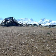
Expeditions often last more than a month and include a gradual approach from Kathmandu as well as several weeks of acclimatization in high camps. Most routes go up the northern side, as the area is accessible only from Tibet.

The summit ridge forms a narrow snow crest that connects the central summit plateau with the main peak. This short passage sits above 8000 meters and requires extra caution due to exposure.

The community of curious travelers

AroundUs brings together thousands of curated places, local tips, and hidden gems, enriched daily by 93,069 contributors worldwide.

Start exploring
Location
Elevation above the sea
8,027 m
GPS coordinates
28.35176,85.78207
Latest update
October 28, 2026 13:33
Reviews
Share your experience

No review yet

Discussions
Start a discussion...

No discussion yet

« Shishapangma - Mountain summit in Shigatse, China » is provided by Around Us (aroundus.com). Images and texts are derived from Wikimedia project under a Creative Commons license. You are allowed to copy, distribute, and modify copies of this page, under the conditions set by the license, as long as this note is clearly visible.

Discover hidden gems everywhere you go!

From secret cafés to breathtaking viewpoints, skip the crowded tourist spots and find places that match your style. Our app makes it easy with voice search, smart filtering, route optimization, and insider tips from travelers worldwide. Download now for the complete mobile experience.
Around Us App Screenshot
❝

A unique approach to discovering new places❞

— Le Figaro

❝

All the places worth exploring❞

— France Info

❝

A tailor-made excursion in just a few clicks❞

— 20 Minutes

Around Us
Travel Guide & Maps
Download

Send to your phone

QR Code
1

Open the camera app on your mobile.

2

Point at the QR code with your camera. A notification will appear.

3

Tap the notification to open the link.