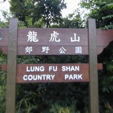
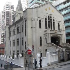
Lung Fu Shan, Mountain summit in Central and Western District, Hong Kong.
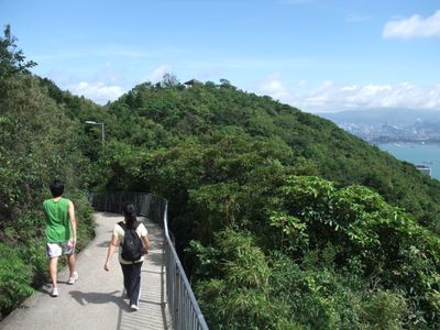
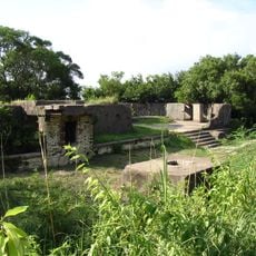
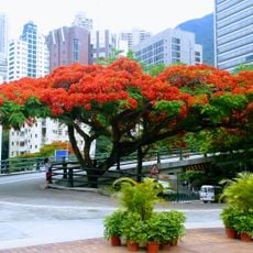
Lung Fu Shan is a mountain peak on Hong Kong Island, sitting between Victoria Peak, Mount Davis, and High West. It lies within a country park that covers the slopes with walking trails and old military structures from earlier periods.
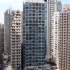
The northern side of the mountain once marked the boundary of Victoria City at the 210-meter contour line, setting a limit to early urban growth. This line shaped how the city expanded and can still be read in the way the landscape divides today.
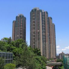
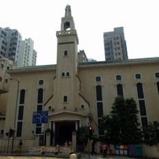
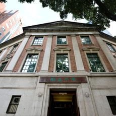
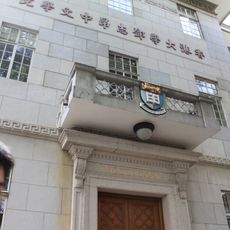
The university campus on the northeastern slopes brings together study and nature in a way visitors can feel while walking through the area. Students and staff move daily between green paths and buildings, giving the mountain a rhythm that differs from a typical park.
A fitness trail starts from Pinewood Garden and passes several viewpoints and old structures along the way, with clear markings and multiple entry points. Sturdy shoes and enough water are recommended, especially if you plan to walk the full length of the route.
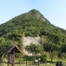
The Environmental Education Centre in the park holds BioBlitz events where researchers try to record as many animal species as possible in a short time. If you pass field workers with clipboards on the trail, you may be walking through one of those counts.
The community of curious travelers
AroundUs brings together thousands of curated places, local tips, and hidden gems, enriched daily by 60,000 contributors worldwide.