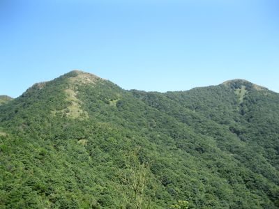
Tiantang Peak, Mountain summit in Conghua District, Guangzhou, China
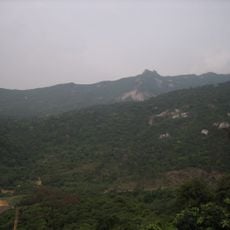
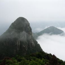
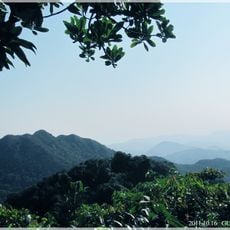
Tiantang Peak rises to 1,210 meters within a national forest park and forms a natural boundary between two districts. The mountain features steep slopes covered in forest, with broad views from the summit across surrounding valleys.
The region surrounding this peak was first settled around 7,000 years ago, with archaeological evidence of early human habitation in these mountains. Its location has historically served as a natural boundary between administrative areas, shaping how communities organized their territories.
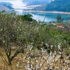
Surrounding valleys are home to farmers who grow litchi, waxberry, plum, and orange trees year-round in traditional orchards passed down through families. This agricultural tradition shapes how the land is used and connects communities to the seasons and the mountain itself.
Hiking to the summit requires proper equipment, plenty of water, and attention to weather changes, as conditions shift rapidly at higher elevations. Start early in the morning when conditions tend to be more stable and temperatures are cooler for a safer, more comfortable climb.
This peak stands out among the many mountains in the broader region, earning a distinctive place in the recorded elevations of the entire province. Its prominence makes it a key reference point that local people recognize and use for orientation.
The community of curious travelers
AroundUs brings together thousands of curated places, local tips, and hidden gems, enriched daily by 60,000 contributors worldwide.