Boumerdès, City
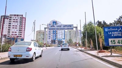
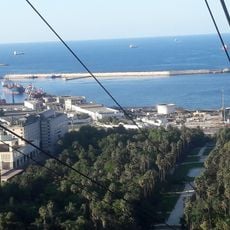
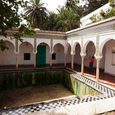
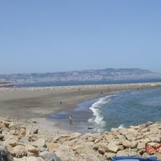
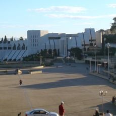
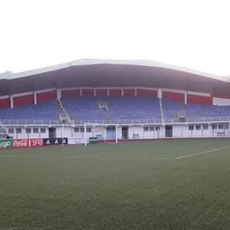
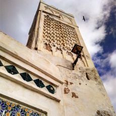
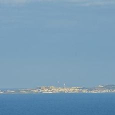
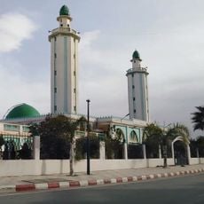
Boumerdès is a city in the Boumerdès District along Algeria's Mediterranean coast. It spreads across terrain between mountains and sea, mixing residential neighborhoods with industrial zones and shopping areas that line the main thoroughfares.
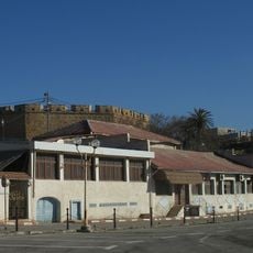
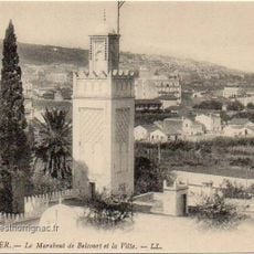
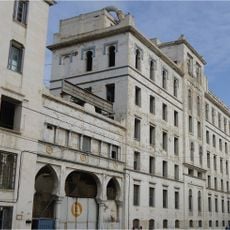
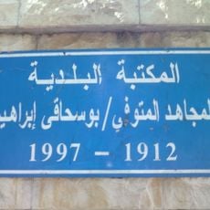
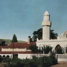
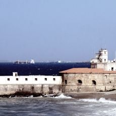
The city grew during the 20th century as a regional trading hub and port center. It developed from a small settlement into an important industrial location along Algeria's coast.
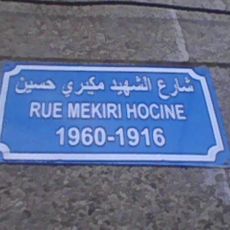
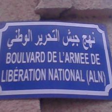
The city is best explored on foot or by local taxi, with main roads connecting the key spots. Visitors should know that infrastructure is basic and traffic gets heavy during rush hours.
The community of curious travelers
AroundUs brings together thousands of curated places, local tips, and hidden gems, enriched daily by 60,000 contributors worldwide.