Aïn El Hammam, Administrative commune in Tizi Ouzou Province, Algeria.
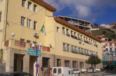
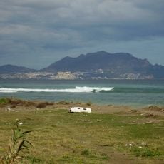
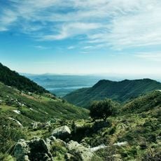
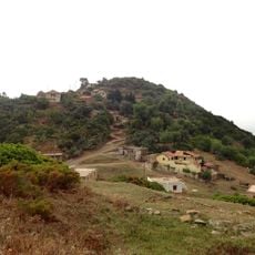
Aïn El Hammam is an administrative commune in Tizi Ouzou Province, located on the northern slope of Djurdjura at about 841 meters elevation. The settlement spreads across several villages built along the mountainside and serves as the administrative center for four surrounding municipalities.
The place was known as Trisipa in Roman times and functioned as a civitas with a seat of bishopric. This ancient administrative and religious center reflects the long history of settlement in this mountain region.
The settlement maintains Berber heritage through traditional carpet weaving, a craft passed down through families in homes and small workshops. The patterns and colors reflect stories tied to the local community's identity and customs.
The place is best explored on foot, with the hilly terrain requiring sturdy footwear. Visitors should plan to walk between the different villages to get a sense of how the area is organized and connected.
The weekly market of Aït Menguellat is a traditional trading center that has shaped local commerce for generations. Locals and visitors meet there to exchange goods and support the area's everyday economy.
The community of curious travelers
AroundUs brings together thousands of curated places, local tips, and hidden gems, enriched daily by 60,000 contributors worldwide.