
In Amenas, town in Illizi Province, Algeria
Location: In Amenas District
Elevation above the sea: 556 m
Shares border with: Debdeb
GPS coordinates: 28.05000,9.55000
Latest update: March 9, 2025 18:58
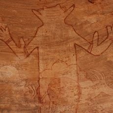
Séfar
374.5 km
Limes Tripolitanus
232.9 km
Tadrart Acacus
366.5 km
Tassili Cultural Park
346.6 km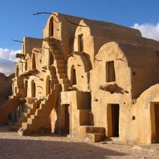
Ksar Ouled Soltane
535.5 km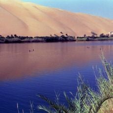
Gaberoun
417.5 km
Gheriat el-Garbia
459.1 km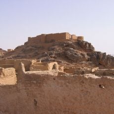
Fortress of Ghat
348.9 km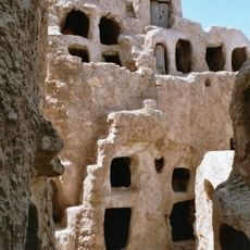
Ksar Nalut
447 km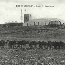
Borj le Bœuf
464.8 km
Ghadames Museum
231.8 km
Nalut Dinosaur Museum
446.6 km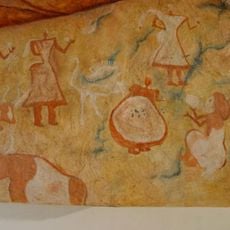
Germa Museum
387 km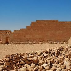
Gheriat esh-Shergia
471.1 km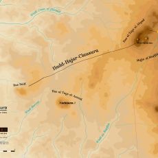
Hadd-Hajar-Clausura
524.4 km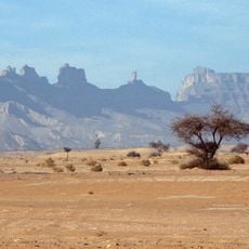
Idinen
318.4 km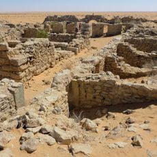
Cidamus
232 km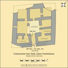
Centenarium Gasr Duib
490 km
Ksar Ez Zahra
539.5 km
Ksar Douiret
541.1 km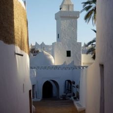
Atiq Mosque
231.9 km
Mafo Lake
415.5 km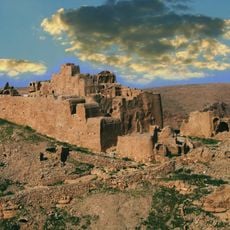
The Castle Nalut
446.9 km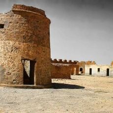
قلعة مرزق Murzuq Castil
493.5 km
Al Asnam, Ghadamis
233.8 km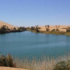
Tengerzan lake
410.9 km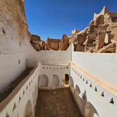
Old Town of Ghadamès
231.9 km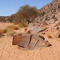
Wadi Mathendous
363.9 kmReviews
Visited this place? Tap the stars to rate it and share your experience / photos with the community! Try now! You can cancel it anytime.
Discover hidden gems everywhere you go!
From secret cafés to breathtaking viewpoints, skip the crowded tourist spots and find places that match your style. Our app makes it easy with voice search, smart filtering, route optimization, and insider tips from travelers worldwide. Download now for the complete mobile experience.

A unique approach to discovering new places❞
— Le Figaro
All the places worth exploring❞
— France Info
A tailor-made excursion in just a few clicks❞
— 20 Minutes