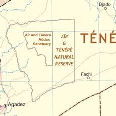
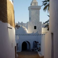
Idinen, Mountain range in Ghat District, Libya.
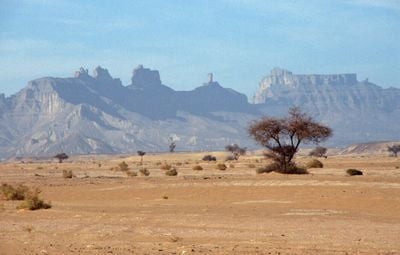
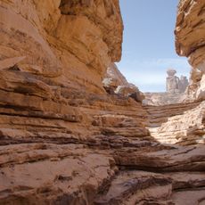
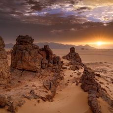
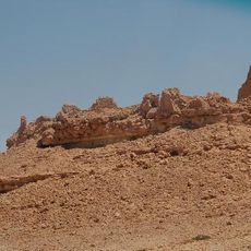
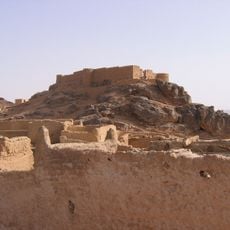
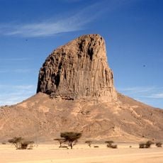
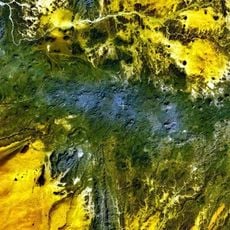
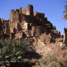
Idinen is a mountain range in southwestern Libya in the Ghat District that rises to about 1130 meters elevation and creates a distinctive silhouette in the desert landscape. The rock formations consist of large blocks and steep walls that create a complex maze of valleys and ridges.
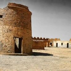
The massif was part of early 19th-century exploration attempts when European travelers sought to reach and document remote desert areas. These expeditions revealed the extreme conditions of the region and contributed to better understanding of Libya's interior landscape.
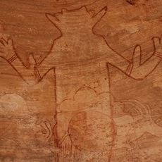
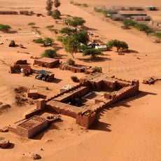
The Tuareg communities in the region have names and stories for this rock formation that are woven into their relationship with the landscape. These oral traditions connect the massif to daily routines and navigation practices of nomadic groups who inhabit these areas.
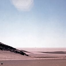
Visitors should hire local guides who are familiar with the rock terrain and passages through difficult ground. The area requires good preparation including adequate water, sun protection, and sturdy footwear since the surroundings are exposed and largely without shade.
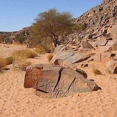
The rock sculptures at the base of the formations show patterns created by water erosion and wind that resemble abstract artwork. Trekkers report that these details look entirely different up close than from a distance, creating a surprising discovery during the walk.
The community of curious travelers
AroundUs brings together thousands of curated places, local tips, and hidden gems, enriched daily by 60,000 contributors worldwide.