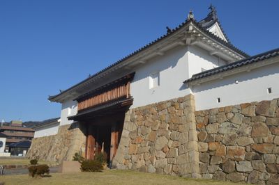
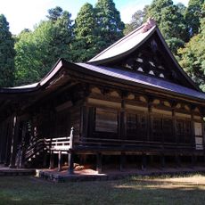
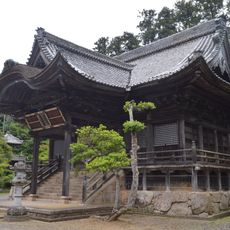
Tanabe Castle, Japanese castle in Maizuru, Japan
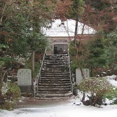
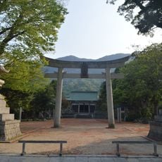
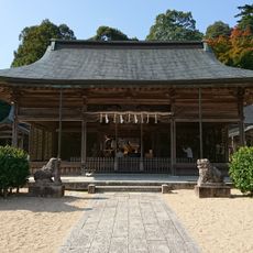
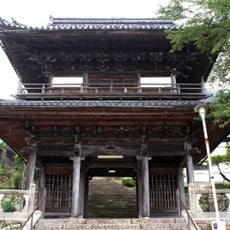
Tanabe Castle is a Japanese fortress in Maizuru within Tango Province on flat land in the northern part of Kyoto Prefecture near the Japan Sea coast featuring stone walls and moats along with gardens distributed across multiple levels over the grounds that are now partly open to the public and extend over a larger section of the city with preserved fortifications and reconstructed portions around the central area
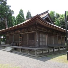
Hosokawa Fujitaka built the fortress in 1582 on the site of a former Kamakura and Muromachi shogunate administrative center amid wetlands at this strategic coastal point in the Tango region that was then under direct military control and served as a key stronghold for ruling the northern coastal territories during the turbulent periods at the end of the sixteenth century with ongoing power struggles among rival warlords and clans in this part of Japan near the Japan Sea
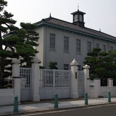
The grounds contain a museum within the former fortress displaying artifacts from the three major family clans who controlled this stronghold across several centuries of local governance and military administration here near the Japan Sea coast of the Tango Peninsula in what is now northern Kyoto Prefecture in this part of central Japan along the coastline of the Japan Sea and the historic Tango Province
Visitors reach the grounds within four minutes on foot from Nishi-Maizuru Station on the JR West Maizuru Line and can park at the South Tanabe municipal lot located near the southern entrance area that serves as a starting point for walking through the different sections of the site with sturdy footwear recommended for the uneven paths and stone steps so you can move safely between the various levels and sections
The fortress withstood several attacks by enemy forces in 1600 during the Battle of Sekigahara under the command of Hosokawa Tadaoki who tried to capture the strategically important coastal position with the defenders skillfully using the natural wetlands and moats to hold off the attackers and keep the stronghold despite being heavily outnumbered until reinforcements arrived and the siege was lifted
The community of curious travelers
AroundUs brings together thousands of curated places, local tips, and hidden gems, enriched daily by 60,000 contributors worldwide.