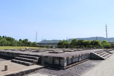
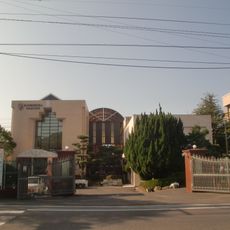
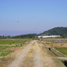
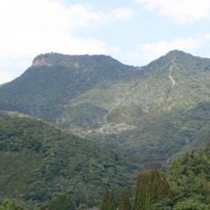
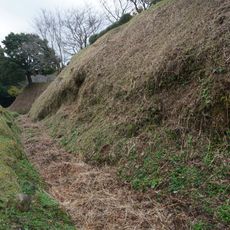
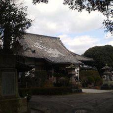
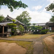
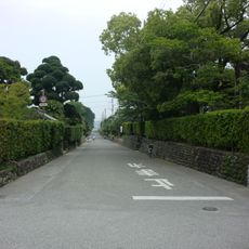
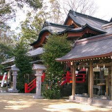
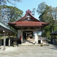
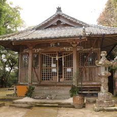
国分寺町, 鹿児島県薩摩川内市の町
Location: Satsumasendai
Inception: February 10, 1940
Shares border with: Taki-chō, Chūgō, Harada-cho, Osyoji-cho, Goryōshita-chō
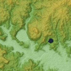
GPS coordinates: 31.83381,130.30419
Latest update: April 11, 2025 12:03
Kamimura Gakuen
14.6 km
蒲生之樟
26.2 km
Izumi crane migration grounds
29.9 km
Tokushige Shrine
24 km
ゴールドパーク串木野
9.9 km
Mount Shibi
17.4 km
Myōenji
23.9 km
Sugawara-jinja
11.2 km
Mount Kanmuridake
9.8 km
Ichiuji Castle
24.1 km
泰平寺
1 km
感応寺
26.2 km
Izumi-Fumoto
27.5 km
Nitta-jinja
1.3 km
Shibi-jinja
19.7 km
Tamayama Shrine
21.4 km
Satsuma Kokubun-ji Remains
285 m
Sendai Space Museum
3.5 km
Miyama toll gate
22.4 km
Star Land Aira
28 km
広済寺
23.9 km
農園ガーデン空
24.5 km
Kougawa Dam
27.4 km
倉野磨崖仏
9.2 km
薩摩川内市祁答院生熊系保存資料館(アイアイム)
16.1 km
Sendaigawa-ohashi Bridge
4.2 km
Yonemaru-Sumiyoshiike
28.1 kmVisited this place? Tap the stars to rate it and share your experience / photos with the community! Try now! You can cancel it anytime.
Discover hidden gems everywhere you go!
From secret cafés to breathtaking viewpoints, skip the crowded tourist spots and find places that match your style. Our app makes it easy with voice search, smart filtering, route optimization, and insider tips from travelers worldwide. Download now for the complete mobile experience.
A unique approach to discovering new places❞
— Le Figaro
All the places worth exploring❞
— France Info
A tailor-made excursion in just a few clicks❞
— 20 Minutes