Mount Koganezawa, Mountain summit in Yamanashi Prefecture, Japan
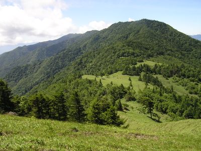
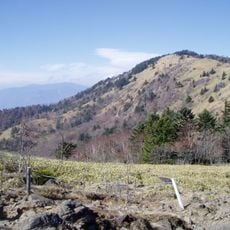
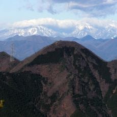
Mount Koganezawa rises to 2014 meters within Chichibu Tama Kai National Park and offers views of Mount Fuji across the northeastern area. The terrain features bamboo grass fields and dense forests that continue all the way to the summit.
The mountain became part of modern mapping when the Geospatial Information Authority of Japan revised elevation measurements in 2014. This remeasurement used advanced GPS technology and updated precise data for thousands of peaks across the country.
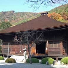
The mountain is part of the Daibosatsu region, which became known through Japanese literature and stories tied to traditional swordsmanship. Visitors sense this literary connection as they walk through landscapes that have inspired writers for generations.
The main route is challenging with about 1070 meters of elevation gain on the ascent. Along the way, a mountain hut and two emergency exit points provide options if hikers need to shorten the route or descend in case of difficulty.
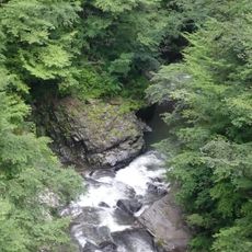
Along the way, hikers encounter Kaminari-iwa, a notable rock formation that stands out from the surroundings. This distinctive landmark serves many as an orientation point and is often remembered as one of the memorable elements of the hike.
The community of curious travelers
AroundUs brings together thousands of curated places, local tips, and hidden gems, enriched daily by 60,000 contributors worldwide.