Chest opened
+${chestReward.xp} XP
Explorer
NOUVEAU ×${chestReward.collectible.quantity}
tapez pour fermer

See the monuments around you in AR Open chests in the app

Around Us is built for your phone — point your camera at the streets and discover the monuments and places around you in augmented reality. Around Us is built for your phone — chests unlock when you walk, explore and capture nearby places.

•

Enable Location

We need your location to show you interesting places around you

Discover nearby places

Find interesting locations and hidden gems around you

Precise directions

Get accurate directions and distances to places

Your location is never shared with other users. It's only used when you tap the location button.

花魁淵

Log in to your account

Start exploring — it's free

Trusted by 94,245 travelers worldwide

Continue with Google
Continue with Apple
or

We will send you a code to connect

By continuing, you accept our Terms and Conditions and our Privacy Policy

Check your inbox

We've sent a pincode in your inbox. Please enter the code below.

花魁淵

花魁淵, Waterfall in Koshu, Japan

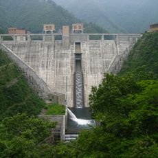
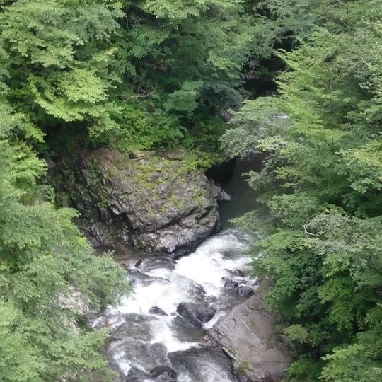
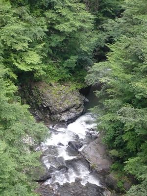
Oiran-buchi is a waterfall on the old, now-closed National Route 411 in Koshu, Yamanashi Prefecture, known locally as Choshi Falls. Water drops in white, churning cascades over dark wet stone, splitting into several streams between rounded boulders. A steep gray rock face with patches of green growth rises to the left, and dense foliage covers the banks.

The spot gained its name in the 16th century, when an incident involving gold mine workers occurred under the rule of the Takeda clan. Later generations linked the place to legends from the Sengoku period.

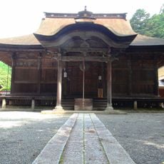
The name Oiran-buchi comes from a Sengoku-period legend: 55 women from a brothel serving the Kurokawa gold mine were killed by cutting a vine-hung banquet platform so they fell into the pool. A small shrine downstream in Tabayama housed wooden statues of them until a flood; it was rebuilt in 1988.

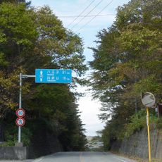
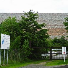
The old National Route 411 branch in front of Oiran-buchi was closed on 21 November 2011, when a bypass with several tunnels opened; the old road is fenced off and entry is prohibited, so the waterfall cannot currently be approached. Yamanashi Prefecture plans to decommission the abandoned road. The site lies on the boundary between Koshu and Tabayama village.

Remains of the Kurokawa gold mine lie a few hundred meters from the waterfall. The mine was especially active during Takeda times and supplied raw materials for the clan.

The community of curious travelers

AroundUs brings together thousands of curated places, local tips, and hidden gems, enriched daily by 94,245 contributors worldwide.
Start exploring
Location
GPS coordinates
35.80719,138.85572
Latest update
October 30, 2026 16:58
Reviews
Share your experience

No review yet

Discussions
Start a discussion...

No discussion yet

« 花魁淵 - Waterfall in Koshu, Japan » is provided by Around Us (aroundus.com). Images and texts are derived from Wikimedia project under a Creative Commons license. You are allowed to copy, distribute, and modify copies of this page, under the conditions set by the license, as long as this note is clearly visible.

Discover hidden gems everywhere you go!

From secret cafés to breathtaking viewpoints, skip the crowded tourist spots and find places that match your style. Our app makes it easy with voice search, smart filtering, route optimization, and insider tips from travelers worldwide. Download now for the complete mobile experience.

Around Us App Screenshot
❝

A unique approach to discovering new places❞

— Le Figaro

❝

All the places worth exploring❞

— France Info

❝

A tailor-made excursion in just a few clicks❞

— 20 Minutes

Around Us
Travel Guide & Maps
Download

Send to your phone

QR Code
1

Open the camera app on your mobile.

2

Point at the QR code with your camera. A notification will appear.

3

Tap the notification to open the link.