Mount Kumotori, Mountain peak in Okutama, Chichibu and Tabayama regions, Japan.
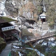
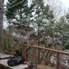
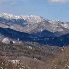
Mount Kumotori is a 2,017-meter peak located at the boundary between Tokyo, Saitama, and Yamanashi prefectures. An emergency shelter sits near the summit, and a hiking route connects Mitsumine Shrine with Okutama station passing through the mountain.
The peak received its first-class triangulation point designation in 1882 during Japan's early geographical surveying efforts. This classification reflected its importance for mapping mountainous regions and establishing accurate geographic boundaries.
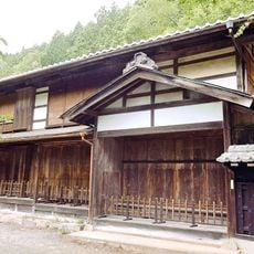
The peak holds a place in Japan's most respected mountain collections and represents a key destination for hikers seeking authentic mountain experiences. Its position at the intersection of three prefectures makes it a notable geographical and cultural landmark.
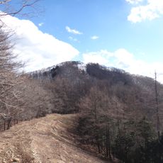
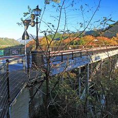
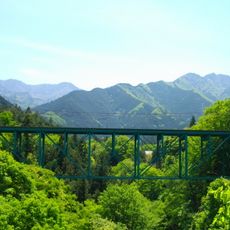
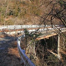
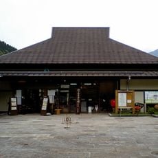
The mountain is best reached via the marked hiking trail, which requires several hours of walking. Starting early is advisable, and the emergency shelter near the summit can be used if the day hike feels too demanding.
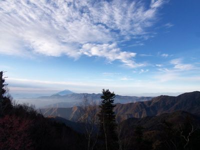
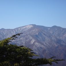
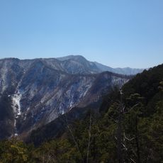
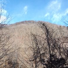
The summit is the highest point within Tokyo Prefecture and offers views of Mount Fuji during clear weather. This makes it a sought-after destination among local climbers on days with excellent visibility.
The community of curious travelers
AroundUs brings together thousands of curated places, local tips, and hidden gems, enriched daily by 60,000 contributors worldwide.