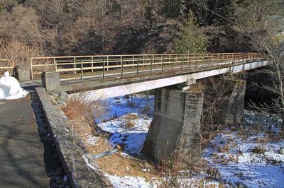
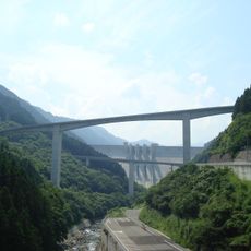
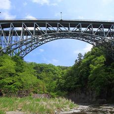
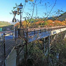
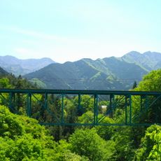
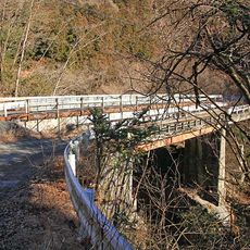
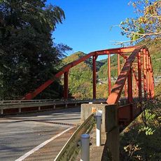
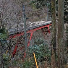
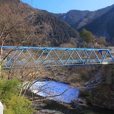
三十槌橋, Vehicle bridge in Chichibu, Japan
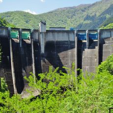
Misotuchi Bridge is a vehicle bridge crossing the Arakawa River in the Chichibu region with mixed construction using steel and concrete elements. The structure connects the two riverbanks and serves as a key route through this mountainous valley.
The current bridge was built in 1965 as a replacement for an earlier crossing that had existed since the late Meiji period. This rebuilding reflects the modernization of transportation infrastructure in this remote mountain region.
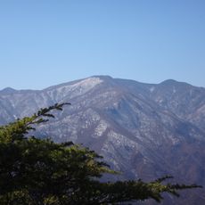
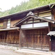
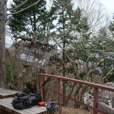
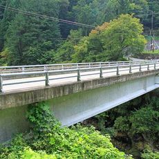
The bridge serves as an entrance point to the Mitsumine Shrine hiking trail, connecting visitors to one of the region's significant mountain temples.
The bridge has narrow lanes and operates with alternating traffic, requiring careful driving and awareness of oncoming vehicles. Pedestrians should note that crossing on foot requires caution and planning around vehicle schedules.
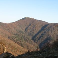
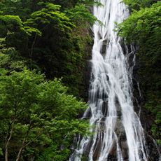
During cold winters, water seeping from the riverbanks near the bridge freezes into natural ice crystal formations called the Misotuchi Ice Pillars. These temporary structures appear only under specific weather conditions and draw visitors during the season when they form.
The community of curious travelers
AroundUs brings together thousands of curated places, local tips, and hidden gems, enriched daily by 60,000 contributors worldwide.