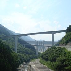
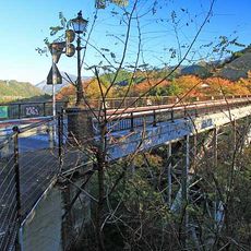
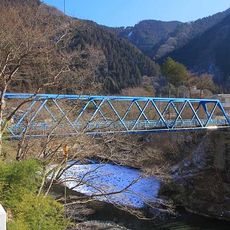
豆焼橋, Steel bridge in Chichibu, Japan
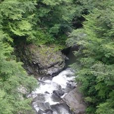
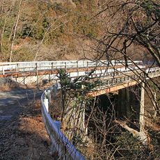
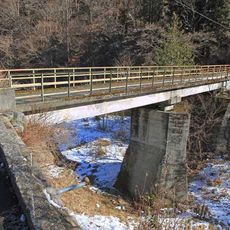
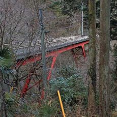
The Mamekobi Bridge is a steel structure spanning a valley in Chichibu, serving as a key connection along National Route 140. It uses an inverted Langer arch design that curves beneath the roadway to support the deck above.
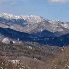
The bridge was built to improve connectivity in a mountainous region after the Karasaka Tunnel opened in 1998. This tunnel and the bridge together created a more direct route between the prefectures.
The bridge forms part of infrastructure developments that connect Saitama and Yamanashi prefectures, supporting local communities and regional transportation networks.
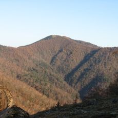
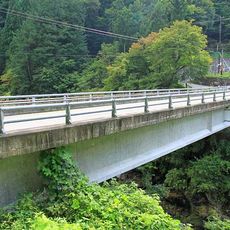
You can view the bridge from the nearby Deai-no-Oka observation point, which offers parking facilities for visitors. From there you have a good vantage point to see the structure and appreciate its engineering.
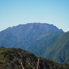
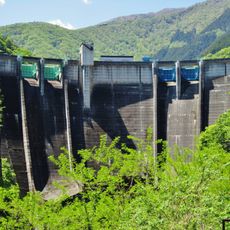
The bridge stands near Japan's longest mountain tunnel, the Karasaka Tunnel, which burrows through the mountainous terrain connecting the region. This pairing of bridge and tunnel represents an impressive feat of engineering coordination across the landscape.
The community of curious travelers
AroundUs brings together thousands of curated places, local tips, and hidden gems, enriched daily by 60,000 contributors worldwide.