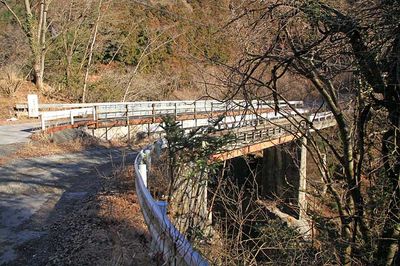
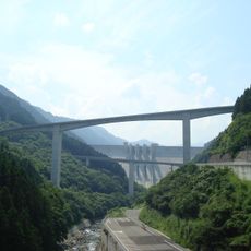
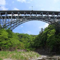
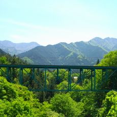
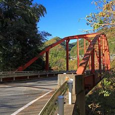
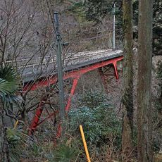
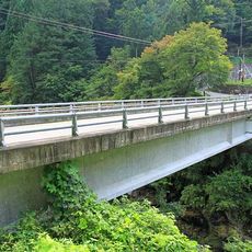
大血川橋, Steel bridge in Nagano Prefecture, Japan
The Daichigawa Bridge is a steel structure in Nagano that spans across a deep valley to connect two mountain communities. The construction uses steel and concrete to cross the gorge, creating a single-span arch that rises prominently from the surrounding landscape.
The bridge was built during Japan's post-war reconstruction period when the country worked to improve road networks connecting remote mountain areas. Its construction helped end the isolation of communities that were previously difficult to reach by vehicle.
The bridge serves as a central meeting point for local festivals and community gatherings, particularly during spring when cherry blossoms line the surrounding hills.
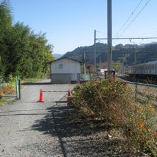
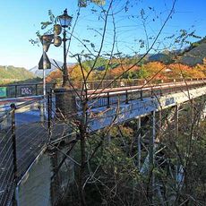
The bridge is accessible by car, with parking areas available at both ends for visitors. The nearest town is about 20 minutes away by road, making it an easy stop during a drive through the mountains.
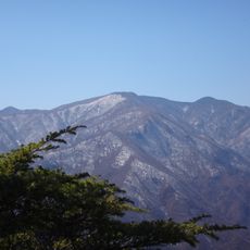
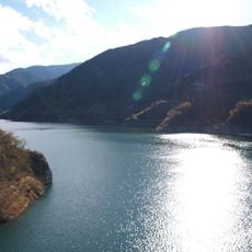
Many visitors miss the carefully designed viewpoints along the bridge that offer the best angles for photographing the surrounding mountains. These spots were positioned to capture different views depending on the season and time of day.
The community of curious travelers
AroundUs brings together thousands of curated places, local tips, and hidden gems, enriched daily by 60,000 contributors worldwide.