Enable Location

We need your location to show you interesting places around you

Discover nearby places

Find interesting locations and hidden gems around you

Precise directions

Get accurate directions and distances to places

Your location is never shared with other users. It's only used when you tap the location button.

Mount Yumihari

Log in to your account

Start exploring — it's free

Trusted by 66,686 travelers worldwide

Continue with Google
Continue with Apple
or

We will send you a code to connect

By continuing, you accept our Terms and Conditions and our Privacy Policy

Check your inbox

We've sent a pincode in your inbox. Please enter the code below.

Mount Yumihari
Discussion Reviews 1 Photos
6k Popularity

Mount Yumihari, Mountain summit in Sasebo, Japan

Mount Yumihari is a mountain summit located within Saikai National Park, near Sasebo in Nagasaki Prefecture, Japan. It rises to 364 meters and is served by several marked trails that connect rest areas and viewing platforms at different points along the way up.

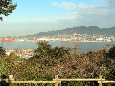
Military commanders once used this peak as a lookout point to monitor the Hirado Strait and the surrounding land during armed conflicts. Its height gave a clear view over the coastal routes that connected the region to the wider sea.

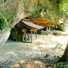
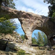
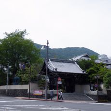
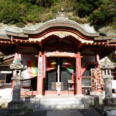
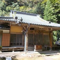
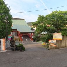
The name Yumihari comes from the bow-like outline the mountain shows when seen from certain spots below. Near the summit, stone markers and small wayside shrines left by earlier visitors line the path.

The main trail to the summit takes roughly two hours to walk, with rest areas spaced along the route. Spring and autumn tend to offer the most comfortable conditions for hiking, though the mountain stays open throughout the year.

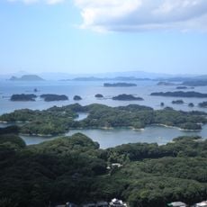
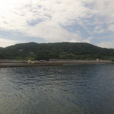
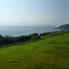
From the top, the view covers several scattered islands of Nagasaki Prefecture all at once, showing clearly how land and open water meet across the horizon. Few points in the region offer this kind of unbroken view over both coastline and sea together.

The community of curious travelers

AroundUs brings together thousands of curated places, local tips, and hidden gems, enriched daily by 60,000 contributors worldwide.

Start exploring
Location
Elevation above the sea
364 m
Part of
Saikai National Park
GPS coordinates
33.18073,129.70164
Latest update
March 3, 2026 22:40
Reviews
Share your experience

No review yet

Discussions
Start a discussion...

No discussion yet

« Mount Yumihari - Mountain summit in Sasebo, Japan » is provided by Around Us (aroundus.com). Images and texts are derived from Wikimedia project under a Creative Commons license. You are allowed to copy, distribute, and modify copies of this page, under the conditions set by the license, as long as this note is clearly visible.

Discover hidden gems everywhere you go!

From secret cafés to breathtaking viewpoints, skip the crowded tourist spots and find places that match your style. Our app makes it easy with voice search, smart filtering, route optimization, and insider tips from travelers worldwide. Download now for the complete mobile experience.

Around Us App Screenshot

A unique approach to discovering new places

Le Figaro

All the places worth exploring

France Info

A tailor-made excursion in just a few clicks

20 Minutes

Around Us
Travel Guide & Maps
Download

Send to your phone

QR Code
1

Open the camera app on your mobile.

2

Point at the QR code with your camera. A notification will appear.

3

Tap the notification to open the link.