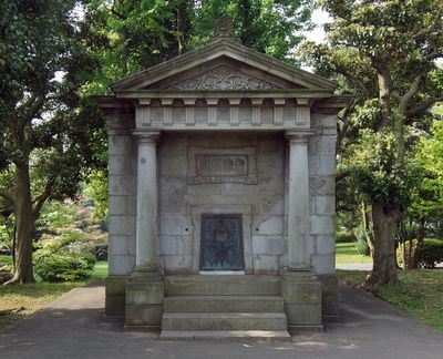
Japan Vertical Datum, Geodetic benchmark in Nagatachō, Japan
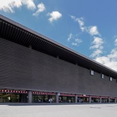
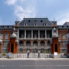
The monument is a geodetic reference point at the Parliamentary Museum in Nagatachō and consists of granite with a height of 24.39 meters above the mean sea level of Tokyo Bay. The structure serves as the starting point for elevation measurements and carries architectural elements reminiscent of Roman construction.
The reference point was established in May 1891 and marked the beginning of standardized elevation measurements across the Japanese archipelago. This innovation supported nationwide surveying activities and contributed to the development of accurate maps during the country's modernization.
The name refers to the reference point for all height measurements in the country and connects western geodesy with Japanese precision. Visitors today see a technical monument from the time when Japan modernized its cartographic systems and adopted international standards.
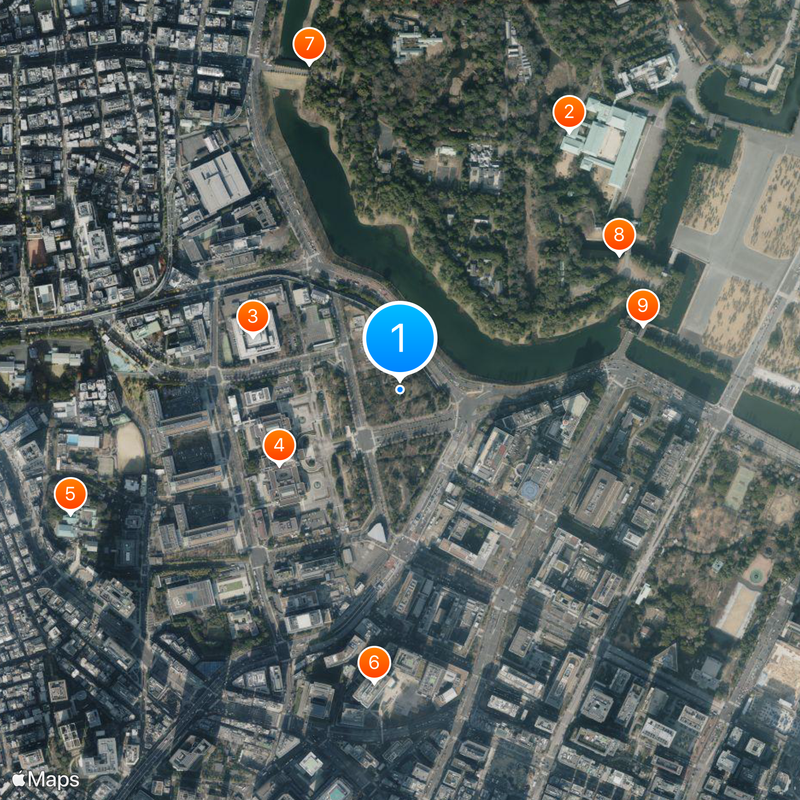
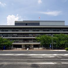
The monument is located within the Parliamentary Museum and can be visited during regular opening hours. The surrounding area is a quiet zone next to the parliament building, where other historical objects are also displayed.
The granite stone has fulfilled the same function for over 130 years and continues to provide data for monitoring land movements. This continuity makes it one of the oldest active geodetic instruments in East Asia.
The community of curious travelers
AroundUs brings together thousands of curated places, local tips, and hidden gems, enriched daily by 60,000 contributors worldwide.