Hongūsan Prefectural Natural Park, Prefectural natural park in Aichi Prefecture, Japan.
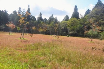
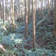
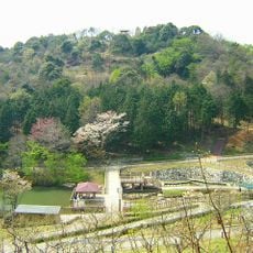
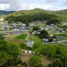
Hongūsan Prefectural Natural Park is a 7,294-hectare prefectural natural park in Aichi Prefecture, designated on 14 March 1969. It centres on Mount Hongū, a first-order triangulation point known as "Mikawa Fuji", and takes in the Kuragari Valley, the Toga Shrine okumiya, the Hongūsan Skyline, Mount Tomoe, Mount Ganmine and the Tomoe and Kanzawa rivers.
The area became a prefectural natural park in 1969, granting it official protection. This designation ensured the preservation of the region's natural resources and landscapes for the future.
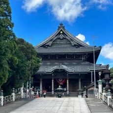
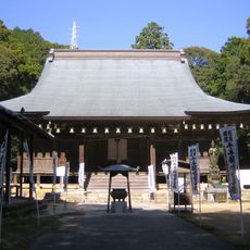
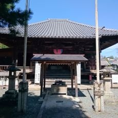
The shrine tied to the park is Toyokawa's Toga Shrine (砥鹿神社), the ichinomiya of Mikawa Province, whose okumiya (inner sanctuary) stands on the summit of Mount Hongu. The okumiya is one of the park's main use areas, reached on foot or via the Hongusan Skyline road.
The park covers 7,294 hectares around Mount Hongu, with the Kuragari Valley, Totsuro, Mount Tomoe and Mount Ganmine as its main visiting areas. The Hongusan Skyline road runs up the mountain, and the summit holds an antenna array that blocks much of the view.
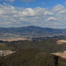
Mount Hongū is a first-order triangulation point nicknamed "Mikawa Fuji" for its shape, but antennas crowd the summit, so the view from the top is poor. The park's 7,294 hectares also take in Mount Tomoe, Mount Karikane and the rivers Tomoe and Kanzawa.
The community of curious travelers
AroundUs brings together thousands of curated places, local tips, and hidden gems, enriched daily by 94,125 contributors worldwide.