田口町, Residential district in Maebashi, Japan.
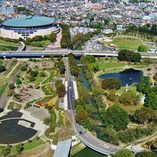
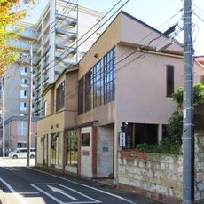
Taguchi-cho is a residential district in Maebashi that spans undulating terrain with a mix of flat and elevated areas. The landscape is defined by houses, farms, and green spaces that maintain the rural character of the area.
The area became part of Maebashi in 1954 when 13 villages unified as Nambatsu Village and were later incorporated into the city. This consolidation shaped the district's current structure.
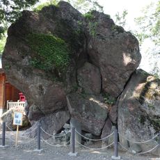
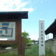
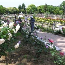
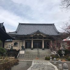
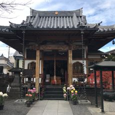
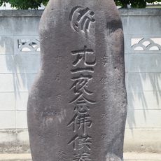
Several temples and shrines dot the landscape of Taguchi-cho, serving as spiritual centers for local residents and maintaining traditional ceremonies.
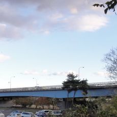
National Route 291 passes through the district and serves as a main traffic link for the area. Bus stops connect the residential area to nearby train stations and other neighborhoods.
The district maintains local agricultural production, with farmers cultivating fresh vegetables and fruits in the fertile soil of the region.
The community of curious travelers
AroundUs brings together thousands of curated places, local tips, and hidden gems, enriched daily by 60,000 contributors worldwide.