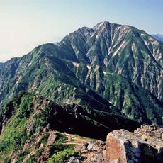
Mount Renge, Mountain peak in Ōmachi, Japan.
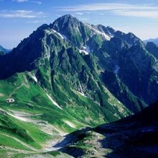
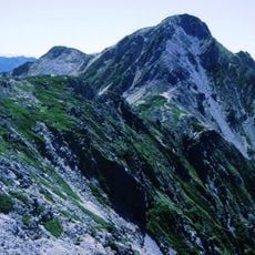
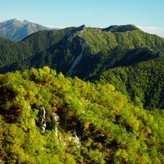
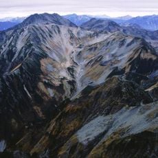
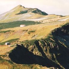
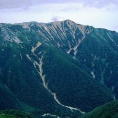
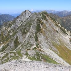
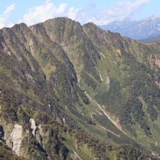
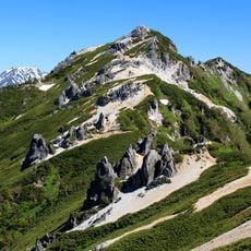
Mount Renge is a 2,799 m peak on the border of Tateyama, Toyama Prefecture, and Ōmachi, Nagano Prefecture. Its east–west summit ridge is made of welded tuff of the Nōhi rhyolite type. The summit area is weathered white gravel and sand, easy to walk on, with patches of alpine plants such as Komakusa. A second-order triangulation point named "Renge-dake" was selected in 1902.
The summit's welded tuff of the Nōhi rhyolite type was long shaped by erosion; a second-order triangulation point was established on the peak in 1902. The mountain lies within Chūbu-Sangaku National Park, designated on 4 December 1934. The pass 1.5 km west, Hiranoki Pass, is linked to a tradition that Sassa Narimasa crossed it in deep winter.
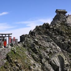
The Oku-no-miya shrine of Wakaichiji stands near the summit, showing how local communities have long held this mountain as spiritually important. Visitors notice the shrine's role in connecting people to the landscape and its role in their traditions.
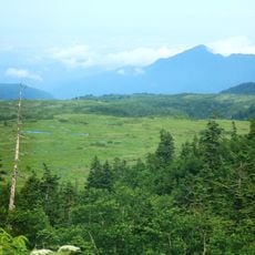
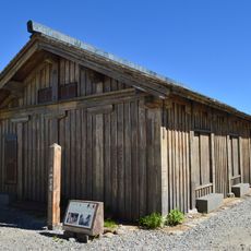
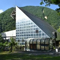
The main route starts at Ōgisawa Station, the Nagano-side gateway of the Tateyama Kurobe Alpine Route, and climbs via Ōsawa Hut and the Hiranoki Snowfield, one of Japan's three largest, to Hiranoki Pass at 2,536 m, then past the Wakaichiji Ōku-no-miya shrine to the summit. The southern approach from Kuzu Onsen via the Funakubo route includes the steep "Renge no Ōkudari" ridge, equipped with ladders and chains. Snow lies heavily here, and the mountain huts close outside the climbing season.
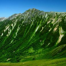
The name is thought to come from the mountain's position at the centre of a range whose surrounding ridgelines resemble a lotus flower. Its other names are Ubasubodake and Kita-Harinoki-dake. A second-order triangulation point, chosen in 1902, stands on the summit at 2,798.73 m.
The community of curious travelers
AroundUs brings together thousands of curated places, local tips, and hidden gems, enriched daily by 94,701 contributors worldwide.