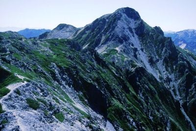
Mount Harinoki, Mountain peak in Tateyama, Japan
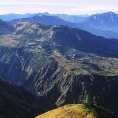
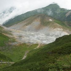
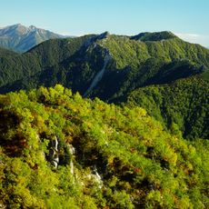
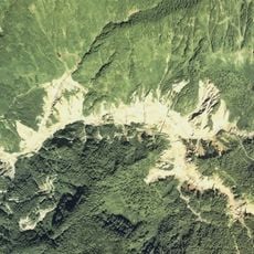
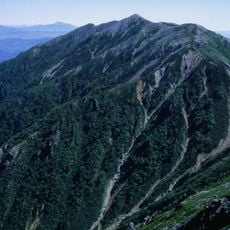
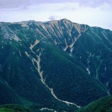
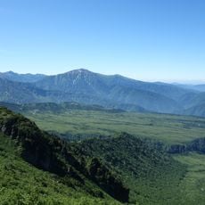
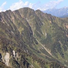
Mount Harinoki is a summit in the Hida Mountains, sitting on the border of Toyama and Nagano prefectures, with steep rocky slopes and a terrain that shifts considerably between seasons. It lies between Tateyama and Ōmachi, and two main climbing routes connect the mountain to the surrounding valleys.
During the Sengoku period, the paths crossing this mountain were used by traders and travelers moving between the regions, though the steep terrain kept regular traffic low. The mountain never became a major route and remained a difficult crossing.
The Shintaro Festival takes place on the mountain each summer to honor the mountaineer Shintaro Momose through traditional ceremonies. Visitors who time their trip around this event can witness rituals that reflect the deep respect local communities hold for the mountains.
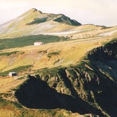
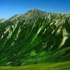
The Harinoki Snow Valley route is generally open until mid-September, after which the Akimichi route becomes the better option for reaching the top. Checking current trail conditions before setting out is a good habit, as snow cover and weather can shift the path considerably.
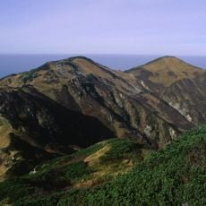
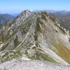
The summit sits precisely on the border between Toyama and Nagano prefectures, meaning a person standing at the top is in two regions at once. This line also acts as a natural watershed, sending meltwater in opposite directions toward the Sea of Japan and the Pacific.
The community of curious travelers
AroundUs brings together thousands of curated places, local tips, and hidden gems, enriched daily by 60,000 contributors worldwide.