Enable Location

We need your location to show you interesting places around you

Discover nearby places

Find interesting locations and hidden gems around you

Precise directions

Get accurate directions and distances to places

Your location is never shared with other users. It's only used when you tap the location button.

Mount Subari

Log in to your account

Start exploring — it's free

Trusted by 62,870 travelers worldwide

Continue with Google
Continue with Apple
or

We will send you a code to connect

By continuing, you accept our Terms and Conditions and our Privacy Policy

Check your inbox

We've sent a pincode in your inbox. Please enter the code below.

Mount Subari

Mount Subari, Mountain summit in Ōmachi and Tateyama, Japan

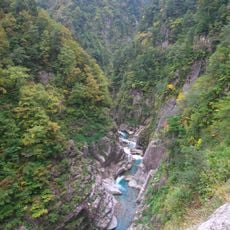
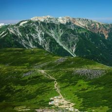
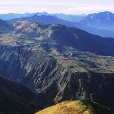
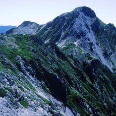
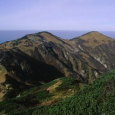
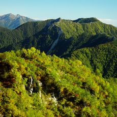
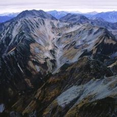
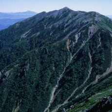
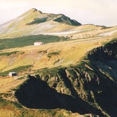
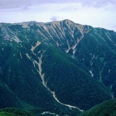
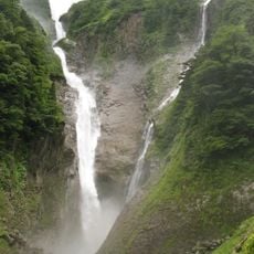
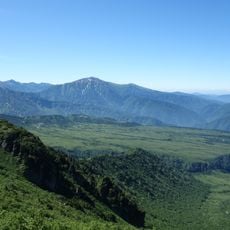
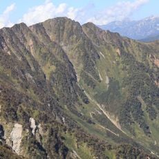
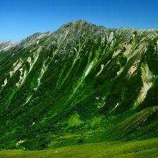
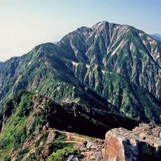
Mount Subari is a peak in the Northern Japan Alps rising to 2,752 meters with multiple hiking paths crossing steep terrain and rocky slopes. The ascent passes through different landscapes, from thick forests to alpine meadows that offer views across the surrounding mountain range.

The peak gained significance in the 17th century when the Tateyama region became recognized as one of Japan's three sacred mountain ranges. This religious acknowledgment shaped how the mountain was viewed in Japanese spiritual life and drew pilgrims seeking its slopes.

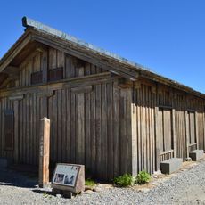
Local residents maintain traditional ceremonies at mountain shrines throughout the year, connecting modern hiking activities with ancient religious practices of the region.

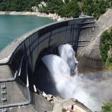
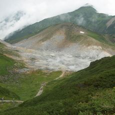
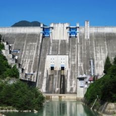
Access comes via the Tateyama Kurobe Alpine Route, with the best climbing window between July and early October. During this period weather is more stable and snow fields have largely melted, creating safer conditions for the ascent.

Several caverns on the slopes hold stone Buddha statues placed by meditators over 1,000 years ago. These remnants show how the peak has served as a place of spiritual practice and personal reflection across centuries.

The community of curious travelers

AroundUs brings together thousands of curated places, local tips, and hidden gems, enriched daily by 60,000 contributors worldwide.

Start exploring
Location
Location
Elevation above the sea
2,752 m
GPS coordinates
36.54436,137.68485
Latest update
December 13, 2025 17:10
« Mount Subari - Mountain summit in Ōmachi and Tateyama, Japan » is provided by Around Us (aroundus.com). Images and texts are derived from Wikimedia project under a Creative Commons license. You are allowed to copy, distribute, and modify copies of this page, under the conditions set by the license, as long as this note is clearly visible.

Discover hidden gems everywhere you go!

From secret cafés to breathtaking viewpoints, skip the crowded tourist spots and find places that match your style. Our app makes it easy with voice search, smart filtering, route optimization, and insider tips from travelers worldwide. Download now for the complete mobile experience.

Around Us App Screenshot

A unique approach to discovering new places

Le Figaro

All the places worth exploring

France Info

A tailor-made excursion in just a few clicks

20 Minutes

Around Us
Travel Guide & Maps
Download

Send to your phone

QR Code
1

Open the camera app on your mobile.

2

Point at the QR code with your camera. A notification will appear.

3

Tap the notification to open the link.