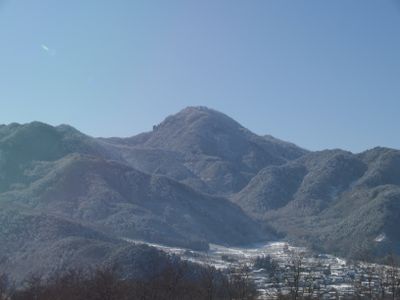
Mount Kamuriki, Mountain peak in Chikuma, Japan
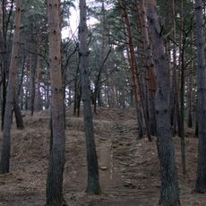
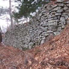
Mount Kamuriki is a peak that rises to 1252 meters in Nagano Prefecture. The slopes display different vegetation zones and rocky features across a protected natural landscape.
The mountain formed in a geologically active region of Japan and shaped the surrounding area over time. A strong earthquake in 1847 altered its appearance permanently, leaving visible marks on the landscape.
The mountain, also known as Obasuteyama, carries a name rooted in Japanese poetry and storytelling traditions. The place holds meaning in narratives that have shaped how people think about age, family, and the landscape itself.
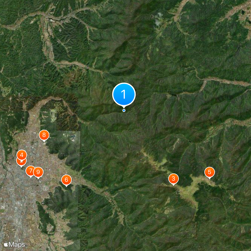
The area lacks nearby public transportation and designated parking, so planning your route in advance helps. Check local conditions before visiting and bring appropriate gear for the terrain and weather.
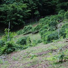
At the mountain's base lie rice terraces with hundreds of active fields maintained across generations. These Tagoto-no-tsuki terraces show how closely people and the mountain landscape have worked together.
The community of curious travelers
AroundUs brings together thousands of curated places, local tips, and hidden gems, enriched daily by 60,000 contributors worldwide.