
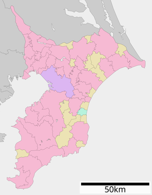
貞元, 千葉県君津市の地名
Location: Kimitsu
Shares border with: 中野, 南久保, 杢師, 八幡, 杉谷, 新御堂, 上湯江, 下湯江, 中富
GPS coordinates: 35.32000,139.90528
Latest update: July 15, 2025 21:05
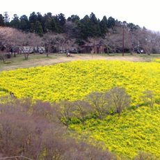
Mother Farm
8.7 km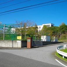
Gyosei International School
8.2 km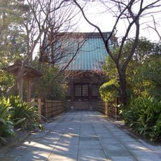
Shōjō-ji
6.8 km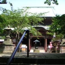
Jin'ya-ji
9 km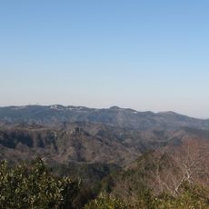
Mount Kanō
9.4 km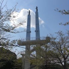
Kimisarazu Tower
7.3 km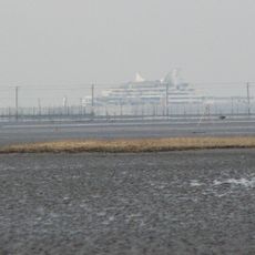
Banzu Higata
10.6 km
Sanuki Castle
6 km
Iino Jin'ya
3.7 km
Futtsu Park
9.7 km
Ōdayama Park
7.3 km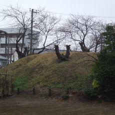
Kinreizuka Kofun
7.9 km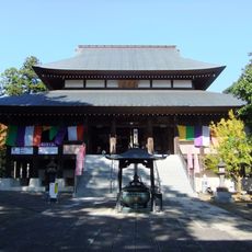
Kōzō-ji
8.3 km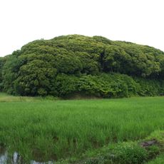
Dairizuka Kofun Cluster
4.4 km
Dairizuka Kofun
4.4 km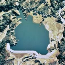
Kori Dam
2.8 km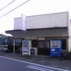
Amaha Nitto Bus
11.3 km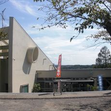
Kisarazu Hometown Museum Kin-no-Suzu
7.3 km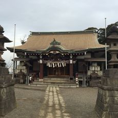
Hitomi-jinja
3.9 km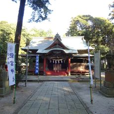
Akitomi Shrine
13.4 km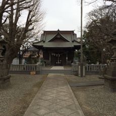
Azuma-jinja
8 km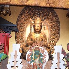
Enmyō-in
13.2 km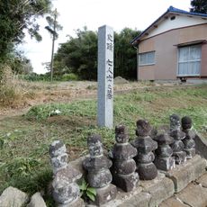
Shichininshi no haka
12.9 km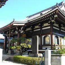
光明寺
7.1 km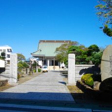
選擇寺
7.3 km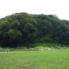
Sanjōzuka Kofun
3.9 km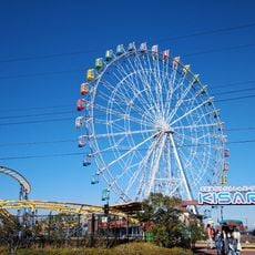
木更津かんらんしゃパーク キサラピア
13.5 km
Takagoyama Prefectural Natural Park
8.8 kmReviews
Visited this place? Tap the stars to rate it and share your experience / photos with the community! Try now! You can cancel it anytime.
Discover hidden gems everywhere you go!
From secret cafés to breathtaking viewpoints, skip the crowded tourist spots and find places that match your style. Our app makes it easy with voice search, smart filtering, route optimization, and insider tips from travelers worldwide. Download now for the complete mobile experience.

A unique approach to discovering new places❞
— Le Figaro
All the places worth exploring❞
— France Info
A tailor-made excursion in just a few clicks❞
— 20 Minutes