
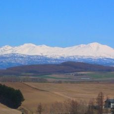
Nishi-kumaneshiri-dake, Berggipfel in Japan
Location: Hokkaido
Elevation above the sea: 978 m
GPS coordinates: 43.51920,143.23330
Latest update: March 8, 2025 04:46

Daisetsuzan Volcanic Group
32.9 km
Taushubetsu Bridge
12.1 km
Asahi-dake
34.5 km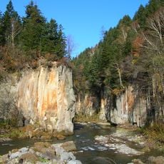
Sounkyo
32.6 km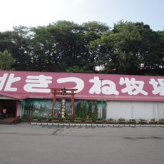
Kitakitsune Farm
33.9 km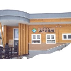
Yama no Aquarium
33.9 km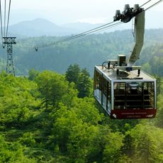
Asahidake Ropeway
37.3 km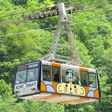
Daisetsuzan Sounkyo Kurodake Ropeway
32.1 km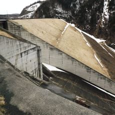
Taisetsu Dam
23.6 km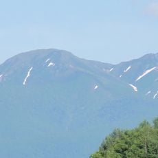
Mount Niseikaushuppe
35.3 km
Shikaribetsu Volcanic Group
31.4 km
Oketo Poppo Art Museum
33.7 km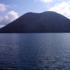
Mount Tenbo
29.7 km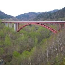
糠平大橋
16.5 km
Hokkaido proportional representation block
22 km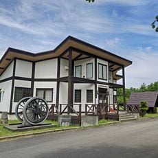
Kamishihoro Town Rail Museum
17.3 km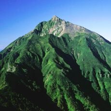
Mount Nipesotsu
17.7 km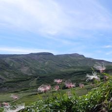
Mount Hokkai
32.4 km
Mount Eboshi
30.9 km
Mount Upepesanke
18.9 km
Mount Hakuun
30.8 km
Mount Chūbetsu
28.5 km
Mount Koizumi
30 km
Ginga Falls
30.3 km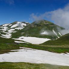
Mount Ryōun
33.6 km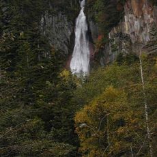
Ryūsei Falls
30.5 km
Nakadake Onsen
35 km
Higashinupukaushinupuri
32.3 kmVisited this place? Tap the stars to rate it and share your experience / photos with the community! Try now! You can cancel it anytime.
Discover hidden gems everywhere you go!
From secret cafés to breathtaking viewpoints, skip the crowded tourist spots and find places that match your style. Our app makes it easy with voice search, smart filtering, route optimization, and insider tips from travelers worldwide. Download now for the complete mobile experience.

A unique approach to discovering new places❞
— Le Figaro
All the places worth exploring❞
— France Info
A tailor-made excursion in just a few clicks❞
— 20 Minutes