Nijūno Taki, Wasserfall in Japan
Location: Kanagawa Prefecture
GPS coordinates: 35.43444,139.23806
Latest update: March 18, 2025 12:44


Mount Ōyama
937 m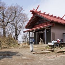
Ōyama Afuri Shrine
2.3 km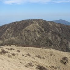
Mount Tanzawa
8.2 km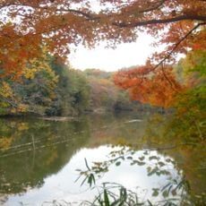
Lake Shinsei
8.6 km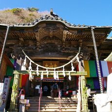
Ōyama-dera
586 m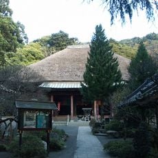
Hinata Yakushi
3.4 km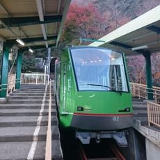
Ōyama Cable Car
929 m
Hibita-jinja
5.6 km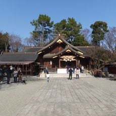
Izumo-taisha Sagami-bunshi
7.6 km
伊勢原大神宮
7.2 km
Koutakuji Onsen
4.6 km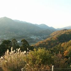
Nanasawa Shinrin Kōen
6 km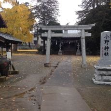
Ono-jinja
7.3 km
比比多神社
4.3 km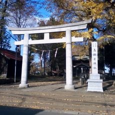
Takabeya-jinja
8.1 km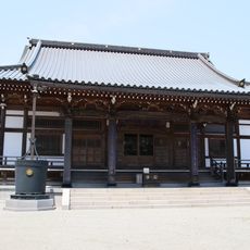
Tōshō-in
5.8 km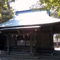
Sanada-jinja, Hiratsuka
8.4 km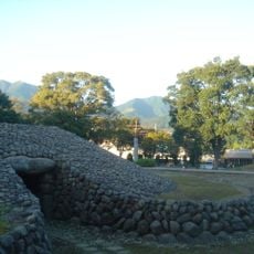
Sakuradote Kofun
7 km
浄発願寺
2.9 km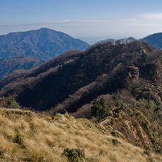
Gyōjaga Take
5.2 km
Mount Karasuo
4.8 km
華嚴山
8.2 km
Hadano Historical Museum
6.9 km
仏果沢橋
8.4 km
七曲橋
8.3 km
東沢橋
8.7 km
Mount Sannoto
4.2 km
Mount Shindainichi
5.9 kmReviews
Visited this place? Tap the stars to rate it and share your experience / photos with the community! Try now! You can cancel it anytime.
Discover hidden gems everywhere you go!
From secret cafés to breathtaking viewpoints, skip the crowded tourist spots and find places that match your style. Our app makes it easy with voice search, smart filtering, route optimization, and insider tips from travelers worldwide. Download now for the complete mobile experience.

A unique approach to discovering new places❞
— Le Figaro
All the places worth exploring❞
— France Info
A tailor-made excursion in just a few clicks❞
— 20 Minutes