
Hōjō, 日本の千葉県館山市の地名
Location: Tateyama
Shares border with: 八幡, 湊, Nagasuka, 新宿, Uenohara
GPS coordinates: 34.99583,139.86750
Latest update: April 5, 2025 17:00
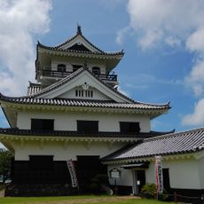
Tateyama Castle
1.9 km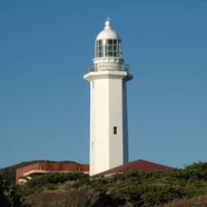
Nojimasaki Lighthouse
10.4 km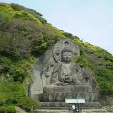
Nihon-ji
18.2 km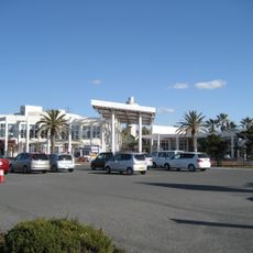
Nambo Paradise Botanical Garden
7.5 km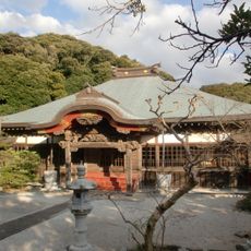
Hota Myōhon-ji
14.8 km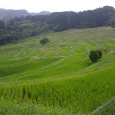
Ōyama Senmaida
17.8 km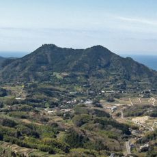
Mount Tomi
11.5 km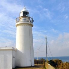
Sunosaki Lighthouse
10.3 km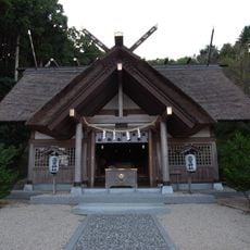
Takabe Shrine
8.4 km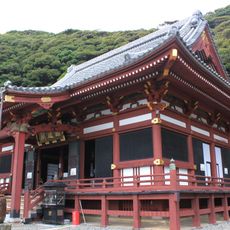
Nago-dera
3.4 km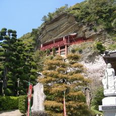
Daifuku-ji
4.5 km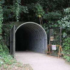
Akayama Underground Tunnels
2.8 km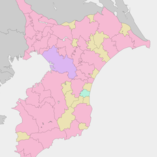
Inamura Castle
3.3 km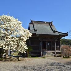
Awa Kokubun-ji
2 km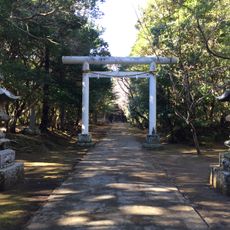
Shimotate matsubara-jinja
9 km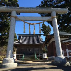
Merasaki Shrine
9.5 km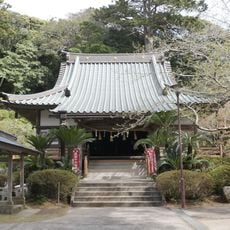
Mano-dera
6.4 km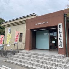
Hishikawa Moronobu Memorial Museum
15 km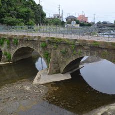
Nagao Bridge
9.4 km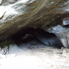
Ōderayama Cave Site
2.7 km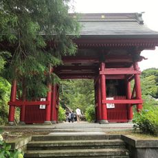
Nichiun-ji
7.3 km
Tateyama Wild Bird Sanctuary
8.9 km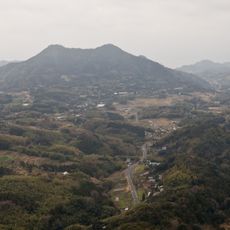
Tomisan Prefectural Natural Park
11.5 km
Mount Atago
17.1 km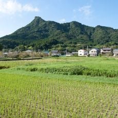
Mount Iyogatake
13.1 km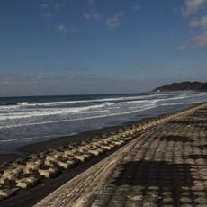
Heisaura
7.7 km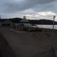
Tadara Kitahama Beach
6 km
Tateyama Sunset Pier
1.4 kmReviews
Visited this place? Tap the stars to rate it and share your experience / photos with the community! Try now! You can cancel it anytime.
Discover hidden gems everywhere you go!
From secret cafés to breathtaking viewpoints, skip the crowded tourist spots and find places that match your style. Our app makes it easy with voice search, smart filtering, route optimization, and insider tips from travelers worldwide. Download now for the complete mobile experience.

A unique approach to discovering new places❞
— Le Figaro
All the places worth exploring❞
— France Info
A tailor-made excursion in just a few clicks❞
— 20 Minutes