
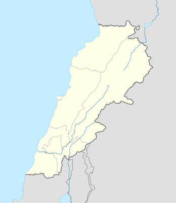
Mghâret er Rouaïs, cave in Lebanon
Location: Mount Lebanon Governorate
GPS coordinates: 34.10861,35.90889
Latest update: March 5, 2025 05:59
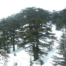
Cedars of God
19.8 km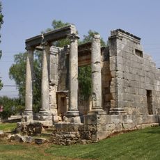
Roman temple of Bziza
19.7 km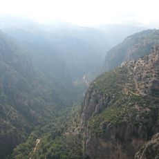
Kadisha Valley
17.7 km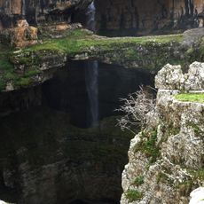
Baatara gorge waterfall
8.1 km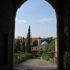
Byblos Castle
24.2 km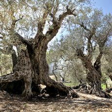
Sisters Olive Trees of Noah
13 km
Royal necropolis of Byblos
24.3 km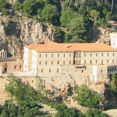
Qozhaya
19.7 km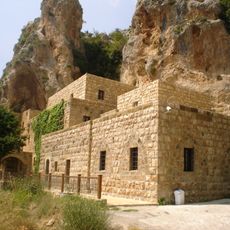
Gibran Museum
18.7 km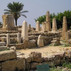
Temple of the Obelisks
24.1 km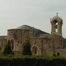
St. John's Cathedral, Byblos
24.3 km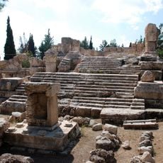
Qasr el Banat, Lebanon
19.4 km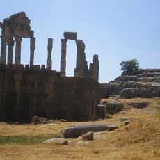
Qalaat Faqra
15.3 km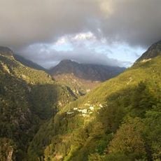
Jabal Moussa Biosphere Reserve
13.9 km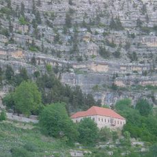
Mar Sarkis, Ehden
21.3 km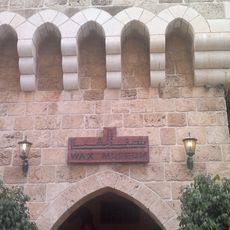
Byblos Wax Museum
24.3 km
Byblos Fossil Museum
24.3 km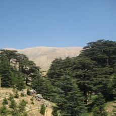
Arz
19.3 km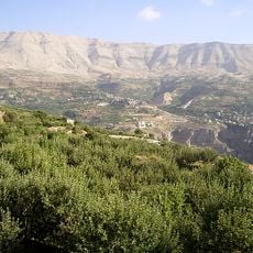
Ouadi Qadisha (the Holy Valley) and the Forest of the Cedars of God (Horsh Arz el-Rab)
20 km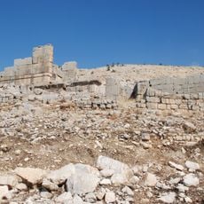
Hosn Niha Site
22.7 km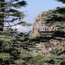
Arz Tannourine
11.5 km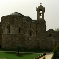
Saint John, Byblos
24.3 km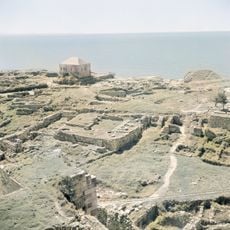
Temple of Baalat Gebal
24.3 km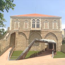
Bird's Nest
24.3 km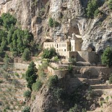
Monastery Of Mar Lishaa
17.5 km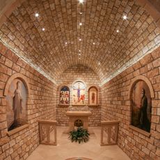
Monastery Saint Maroun - Annaya
14.4 km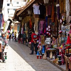
Byblos Old Souq
24.2 km
Church of Saint Anthony
20 kmReviews
Visited this place? Tap the stars to rate it and share your experience / photos with the community! Try now! You can cancel it anytime.
Discover hidden gems everywhere you go!
From secret cafés to breathtaking viewpoints, skip the crowded tourist spots and find places that match your style. Our app makes it easy with voice search, smart filtering, route optimization, and insider tips from travelers worldwide. Download now for the complete mobile experience.

A unique approach to discovering new places❞
— Le Figaro
All the places worth exploring❞
— France Info
A tailor-made excursion in just a few clicks❞
— 20 Minutes