Jabal Moussa Biosphere Reserve, Biosphere reserve in Mount Lebanon region, Lebanon
Jabal Moussa Biosphere Reserve sits in the Mount Lebanon region and spans an expansive terrain with varying elevations across its landscape. The land ranges from lower elevations in the northwest to higher mountain areas in the southeast toward the Mediterranean coast.
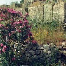
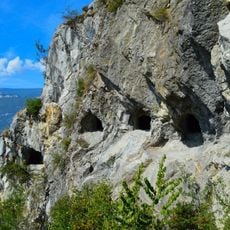
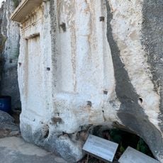
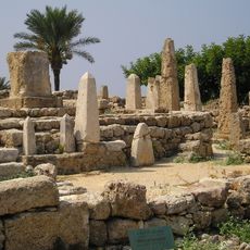
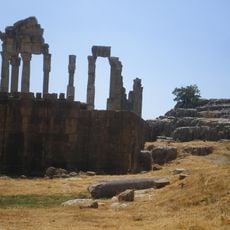
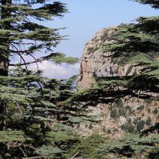
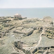
Roman roads and stairs built between 64 BC and AD 249 survive in the reserve, and Emperor Hadrian set boundary markers around its cedar, oak, cypress, fir and juniper forests, declaring them his imperial domain. Many of his rock inscriptions remain, and one of the fifteen hiking trails is named Hadrian's Incline after him. Excavations at Qornet el Deir since 2017 show occupation back to the Bronze Age and a Phoenician settlement linking the Beqaa Valley with the coast.
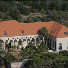
The reserve's name comes from the mountain, and its villages include Yahchouch, Qahmez, Jouret el-Termos, Nahr ed Dahab, Ghbaleh, Ebreh and Chouwan. Sites from the Phoenician, Roman and Ottoman periods show how people and nature interacted here over centuries. Since 2009 the Man and Biosphere programme has combined conservation with education and local livelihoods.
The reserve features over fifteen marked hiking trails of varying difficulty levels that guide visitors through the area. Information centers are located at several points and provide maps and explanations about the local nature to help you navigate.
In 2009 Jabal Moussa was designated a Globally Important Bird Area, and the reserve records more than 137 species of migratory and soaring birds. Its slopes on the western flanks of Mount Lebanon, rising from 350 to 1,700 metres, lie on a migration route above the Mediterranean.
The community of curious travelers
AroundUs brings together thousands of curated places, local tips, and hidden gems, enriched daily by 93,517 contributors worldwide.