
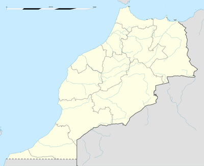
Oued Naam, rural commune in Morocco
Location: Errachidia Province
GPS coordinates: 31.95444,-3.58639
Latest update: March 29, 2025 09:34

Sijilmasa
99.8 km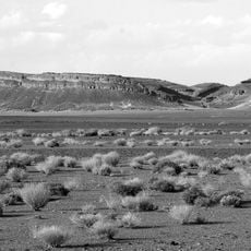
Gara Medouar
106.1 km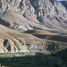
Dadès Gorges
222.8 km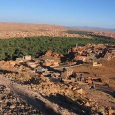
Todgha Gorge
193 km
Cèdre Gouraud
220.1 km
Ifrane National Park
219 km
Tazekka National Park
242.6 km
Priory of Our Lady of Atlas
135.9 km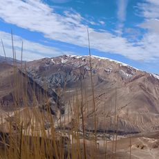
Jbel Bou Naceur
181.7 km
Fezouata formation
251.3 km
Khenifra National Park
223.7 km
Hassan II Dam
145 km
Haut Atlas Oriental National Park
175.7 km
Site of Aït Ouaazik
242.4 km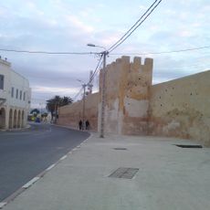
Medina of Taza
254.1 km
Jbel El Koudiate
228.9 km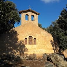
Tioumliline
223 km
Guettioua Sandstone
217.1 km
Chapelle de Charles de Foucauld
244.6 km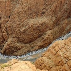
Atlas Cedar Biosphere Reserve
200.5 km
Oasis du Sud Marocain Biosphere Reserve
222.6 km
Ait Zeggane
162 km
Mosquée du Vieux Ksar
244.4 km
Tahiri museum of fossils
94.8 km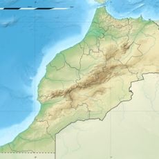
Tadighoust (munisipyo sa Maruwekos)
119.3 km
Amazigh museum
225.1 km
Saharan Morocco
79.2 km
Arfoud
85.3 kmReviews
Visited this place? Tap the stars to rate it and share your experience / photos with the community! Try now! You can cancel it anytime.
Discover hidden gems everywhere you go!
From secret cafés to breathtaking viewpoints, skip the crowded tourist spots and find places that match your style. Our app makes it easy with voice search, smart filtering, route optimization, and insider tips from travelers worldwide. Download now for the complete mobile experience.

A unique approach to discovering new places❞
— Le Figaro
All the places worth exploring❞
— France Info
A tailor-made excursion in just a few clicks❞
— 20 Minutes