Doorn, farm village in the Netherlands
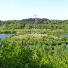
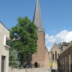
Doorn is a village in the municipality of Utrechtse Heuvelrug, in the Dutch province of Utrecht. It sits among wooded hills, surrounded by nature reserves, country estates, and scattered farmland.
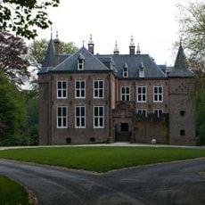
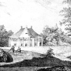
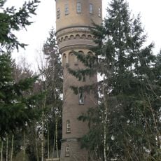
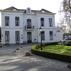
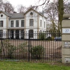
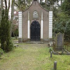
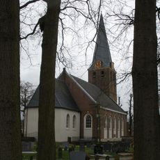
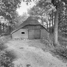
Doorn developed as a farming settlement during the Middle Ages, shaped by the hilly terrain of the Utrechtse Heuvelrug. In the 19th century, several large country estates were built in the area, gradually shifting the character of the village.
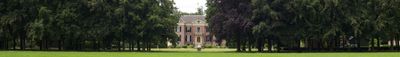
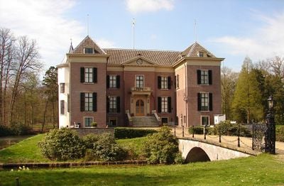
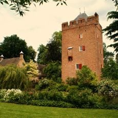
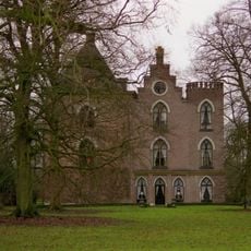
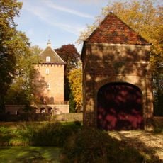
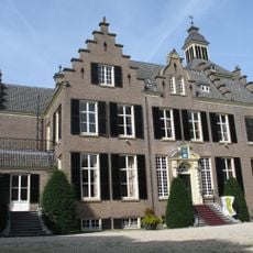
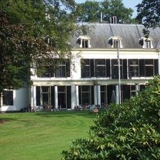
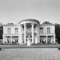
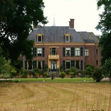
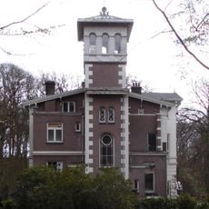
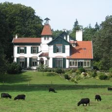
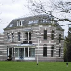
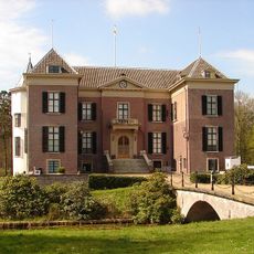
The name Doorn comes from the Dutch word for thorn, likely referring to the thorny shrubs that once covered this part of the Utrechtse Heuvelrug. The village is widely known for Huis Doorn, a manor house that served as the exile residence of German Kaiser Wilhelm II after World War I and is now open to visitors.
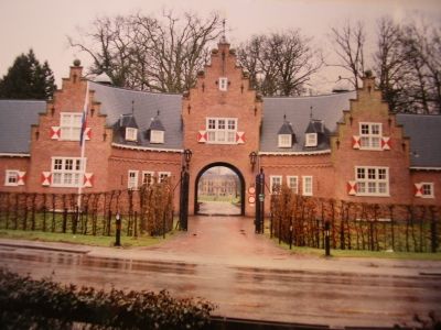
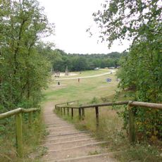
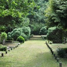
The village and its surroundings are well suited for cycling and walking, with marked trails through the forests and heathlands of the Utrechtse Heuvelrug. Visiting Huis Doorn is straightforward, as the estate is clearly signposted from the village center.
Kaiser Wilhelm II lived in Huis Doorn from 1920 until his death in 1941, and the house still contains his personal belongings, furniture, and library exactly as he left them. This makes the estate one of the few places in Europe where a deposed ruler's private life can still be seen in place.
The community of curious travelers
AroundUs brings together thousands of curated places, local tips, and hidden gems, enriched daily by 60,000 contributors worldwide.