Enable Location

We need your location to show you interesting places around you

Discover nearby places

Find interesting locations and hidden gems around you

Precise directions

Get accurate directions and distances to places

Your location is never shared with other users. It's only used when you tap the location button.

Utrechtse Heuvelrug

Log in to your account

Start exploring — it's free

Trusted by 63,230 travelers worldwide

Continue with Google
Continue with Apple
or

We will send you a code to connect

By continuing, you accept our Terms and Conditions and our Privacy Policy

Check your inbox

We've sent a pincode in your inbox. Please enter the code below.

Discussion Reviews 1 Photos
17.3k Popularity

Utrechtse Heuvelrug, municipality in the province of Utrecht, the Netherlands

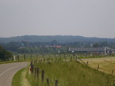
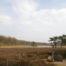
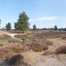
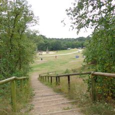
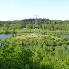
The Utrechtse Heuvelrug is a municipality in Utrecht with rolling terrain, forests, and open fields that create a varied landscape. It encompasses several villages and is traversed by numerous walking and cycling paths that connect the different settlements and natural areas.

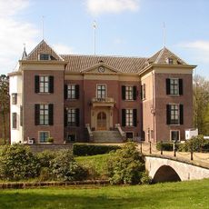
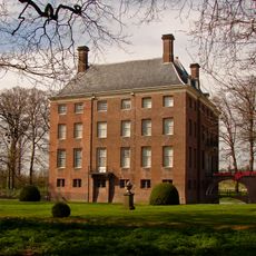
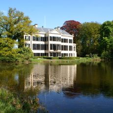
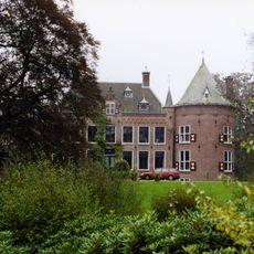
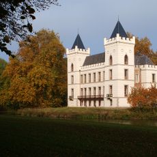
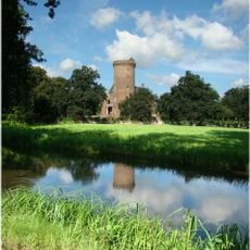
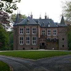
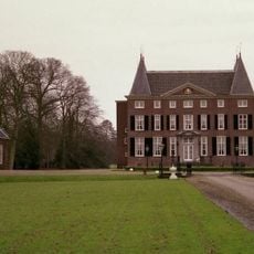
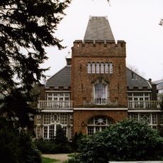
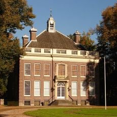
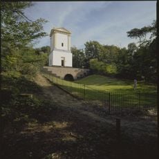
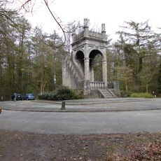
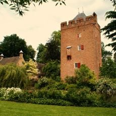
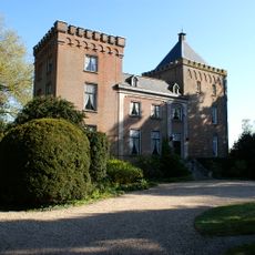
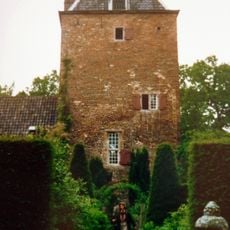
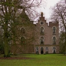
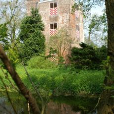
The municipality was formed in 2006 through the merger of several smaller communities into a single administrative entity. The area contains numerous historical estates and castles that have shaped the landscape and regional character over many centuries.

The Utrechtse Heuvelrug comprises several villages with distinct identities, including Doorn, Amerongen, and Driebergen-Rijsenburg, where residents maintain a strong connection to the landscape and local traditions. This relationship shapes the daily rhythm of the area, visible in cozy streets, neighborhood gathering spots, and how people interact with their surroundings.

The best way to explore the area is using the numerous marked walking and cycling routes that connect the villages and natural areas. Local information points in the villages provide guidance on routes, facilities, and activities available in each part of the municipality.

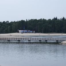
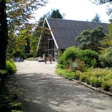
The area is home to specialized museums such as the Bomenmuseum Gimborn, which focuses on tree and plant diversity, and features natural outdoor swimming areas like Bosbad Leersum where visitors can swim in a forest setting. These facilities offer experiences that reflect the region's strong relationship with nature.

The community of curious travelers

AroundUs brings together thousands of curated places, local tips, and hidden gems, enriched daily by 60,000 contributors worldwide.

Start exploring
Location
Inception
January 1, 2006
Capital city
Doorn
Elevation above the sea
7 m
Shares border with
Veenendaal, Rhenen, Wijk bij Duurstede, Buren
Phone
GPS coordinates
52.04220,5.45060
Latest update
February 17, 2026 01:00
Reviews
Share your experience

No review yet

Discussions
Start a discussion...

No discussion yet

« Utrechtse Heuvelrug - municipality in the province of Utrecht, the Netherlands » is provided by Around Us (aroundus.com). Images and texts are derived from Wikimedia project under a Creative Commons license. You are allowed to copy, distribute, and modify copies of this page, under the conditions set by the license, as long as this note is clearly visible.

Discover hidden gems everywhere you go!

From secret cafés to breathtaking viewpoints, skip the crowded tourist spots and find places that match your style. Our app makes it easy with voice search, smart filtering, route optimization, and insider tips from travelers worldwide. Download now for the complete mobile experience.

Around Us App Screenshot

A unique approach to discovering new places

Le Figaro

All the places worth exploring

France Info

A tailor-made excursion in just a few clicks

20 Minutes

Around Us
Travel Guide & Maps
Download

Send to your phone

QR Code
1

Open the camera app on your mobile.

2

Point at the QR code with your camera. A notification will appear.

3

Tap the notification to open the link.