
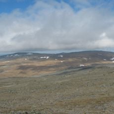
Čoavjebåttusčåkkat, قمة جبل في كاوتوكاينو، النرويج
Location: Kautokeino Municipality
GPS coordinates: 69.12748,23.01850
Latest update: June 14, 2025 07:34

Halti
72.2 km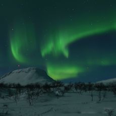
Saana
86.4 km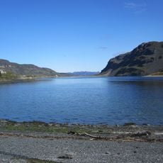
Kåfjorden
90.3 km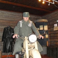
Tirpitz Museum
89.4 km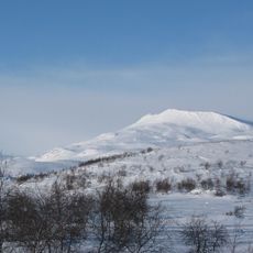
Govddošgáisi
74 km
Kilpisjärvi Atmospheric Imaging Receiver Array
89.8 km
Käsivarsi Wilderness Area
60 km
Reisa National Park
42.4 km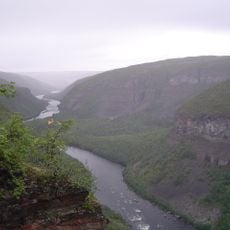
Sautso
76 km
Anárjohka National Park
72.9 km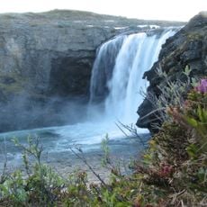
Pitsusköngäs
69.4 km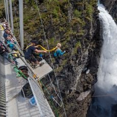
Gorsa Bridge
85.8 km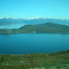
Kvænangen
77.9 km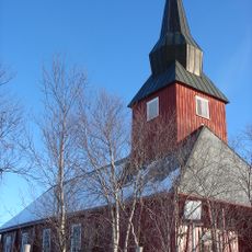
Kautokeino Church
13.9 km
Mollisfossen
53.6 km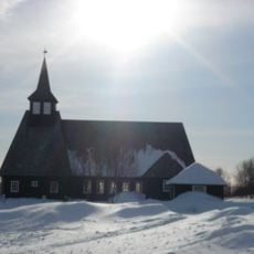
Masi Church
43.4 km
Kilpisjärvi Biological Station
88.5 km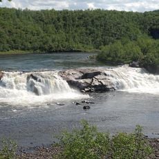
Pikefossen
29.3 km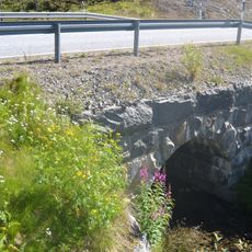
Ahdaskuru Bridge
89.8 km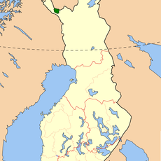
Tarvantovaara Wilderness Area
65.7 km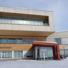
Diehtosiida
12.6 km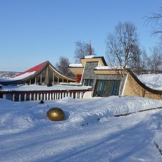
Juhls' Silvergallery
14.9 km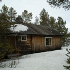
Ungelo croft
86.3 km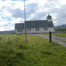
Sekkemo Church
89.8 km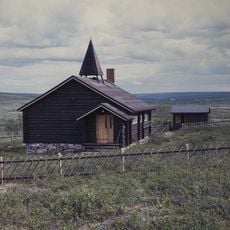
Šuoššjávri Chapel
56.1 km
Enontekiö Local History Museum
85.9 km
Sami Siida
89.9 km
Kautokeino Cultural Centre
12.2 kmReviews
Visited this place? Tap the stars to rate it and share your experience / photos with the community! Try now! You can cancel it anytime.
Discover hidden gems everywhere you go!
From secret cafés to breathtaking viewpoints, skip the crowded tourist spots and find places that match your style. Our app makes it easy with voice search, smart filtering, route optimization, and insider tips from travelers worldwide. Download now for the complete mobile experience.

A unique approach to discovering new places❞
— Le Figaro
All the places worth exploring❞
— France Info
A tailor-made excursion in just a few clicks❞
— 20 Minutes